Tropical Storm Tapah 2025
Last Modified:
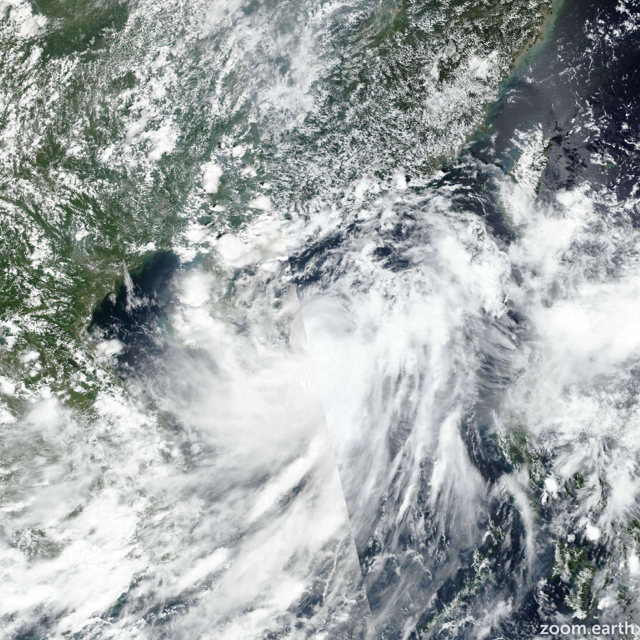
Live tracking map, satellite images and forecasts of Tropical Storm Tapah 2025 (台風16号) near Yangjiang, China. Current wind speed 110km/h.
Tapah (Philippine name Lannie) is located 196 km south-southwest of Hong Kong, and has tracked north-northwestward at 17 km/h (9 knots) over the past 6 hours. Maximum significant wave height is 8.2 meters (27 feet).
Tapah continues to track north-northwestward along the southwestern edge of the deep subtropical ridge to the northeast. Landfall is expected within the next 6 hours or so in the vicinity of Shangchuan Dao.
After landfall, the system will continue to track northwestward, further into south-central China. A brief window for additional intensification exists prior landfall and it is expected to reach a peak intensity of 120–130 km/h (65–70 knots) before crossing the coastline.
After landfall, the system will rapidly weaken and subsequently dissipate within the next 36 hours. Deterministic, ensemble and artificial intelligence (ai) models are in strong agreement, with minimal cross-or along-track spread throughout the forecast period.
The JTWC forecast is positioned near the multi-model consensus mean with high confidence. Neither the JTWC forecast points nor the model guidance possess sufficient temporal resolution to capture the brief intensification period prior to landfall.
Nevertheless, the intensity guidance is in good agreement that, subsequent to landfall, the system will rapidly weaken and dissipate over land within the next 36 hours.