Tropical Storm 18W 2025
Last Modified:
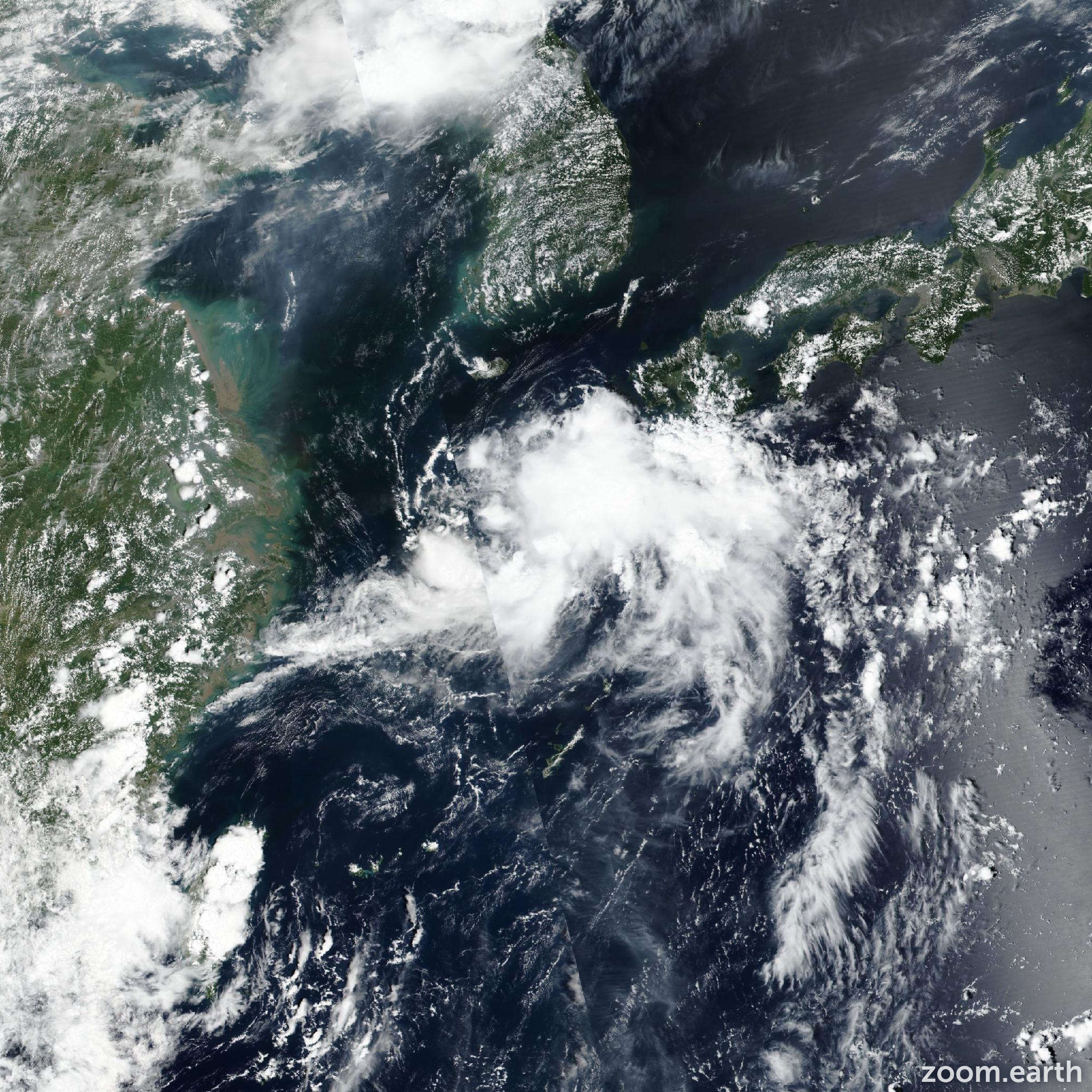
Live tracking map, satellite images and forecasts of Tropical Storm 18W 2025 west of Kyushu, Japan. Current wind speed 65km/h.
18W (Philippine name Huaning) is located 265 km southwest of Sasebo, Japan, and has tracked north-northeastward at 17 km/h (9 knots) over the past 6 hours. Maximum significant wave height is 3.7 meters (12 feet).
18W is forecast to track north-northeastward to east-northeastward through the forecast period as it rounds the northwestern edge of the subtropical ridge.
Upper-level conditions have improved steadily over the past day as the system tracked away from an upper-level low near Taiwan, with improved equatorward outflow evident in the animated water vapor rgb imagery. Additionally, eastward outflow has maintained. However, dry air entrainment through the column has continued to hinder any significant consolidation.
There is a very short window (approximately 6 hours) for the system to maintain 65 km/h (35 knots) until wind shear increases to high (25–45 knots) levels and dry air overwhelms the system.
JTWC track confidence is medium, with increasing uncertainty in the exact track after 12 hours. In large part, this is due to the weak nature of the system and the complex low-level steering influence as it weakens near landfall.
The current suite of deterministic guidance shows a spread from western central Kyushu to northern Kyushu. The 20/00:00 UTC ECMWF ensemble (ECENS) run shows the bulk of the solutions tracking the system into the korean strait and northern Kyushu.
The 20/06:00 UTC GFS ensemble (GEFS) is similar, with a wider spread of solutions from the korean strait to southern Kyushu. Overall, both ensembles show that a potential direct track over Cheju-do and the Busan area is at a very low probability.
Reliable intensity guidance shows a peak intensity of 65–85 km/h (35–45 knots) over the next 12 hours, with unanimous agreement on a sharp weakening trend after 12 hours. However, the latest HAFS-A run is forming spurious low pressure areas under the deep convective bursts, with inflated 75–85 km/h winds (40–45 knots) isolated directly to these regions.