Tropical Depression 21W 2026
Last Modified:
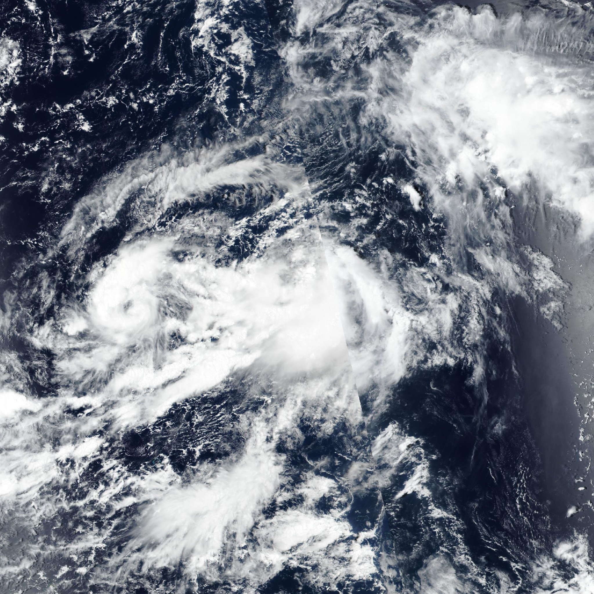
Live tracking map, satellite, radar, and forecasts of Tropical Depression 21W 2026 in the western Pacific Ocean. Current wind speed 55km/h. Max 95km/h.
21W is located 169 km northeast of Wake Island, and has tracked northward at 11 km/h (6 knots) over the past 6 hours. Maximum significant wave height is 3.7 meters (12 feet).
21W is currently moving slowly northward along the building extension of the subtropical ridge centered to the northeast.
As the ridge continues to build, and 21W intensifies, the gradient will strengthen, resulting in 21W accelerating northward over the next 12 to 24 hours.
A gradual turn north-northwestward is expected after 12 hours, with the system maintaining this general trajectory over the next 3 days. By the end of the forecast period, the subtropical ridge builds into the south of 21W, resulting in a turn back to the northeast in 4 days. Of note, the system is the dominant system in a binary interaction with 20W to the southwest.
20W is forecast to be captured by and ultimately merge with the broad wind field associated with 21W in 3 days. However, due to the significant size difference, the impact of the merger on the track of 21W will be minimal.
Regarding intensity, once the system achieves symmetrization in the next 12 to 24 hours, it will launch a period of intensification fueled by strong poleward outflow, low shear and warm sea surface temperatures. However, the window of opportunity will be short-lived and the system will struggle against dry mid-level air along the western edge.
21W reaches its peak intensity of 95 km/h (50 knots) in 2 days, then begins to move under a finger of the subtropical jet which will induce sharply increased shear and dry air entrainment, leading to a rapid weakening phase.
In 3 days, as the vortex decouples and is engulfed by dry mid-level air, passes across the subtropical jet finger and moves under an upper-level low, it begins a rapid subtropical transition (STT).
STT is forecast to be complete in 4 days. Track guidance is in good agreement through the bulk of the forecast period. NAVGEM is the sole outlier, switching between tracking the vortex associated with 21W and 20W and positioned far to the west of the remainder of the guidance.
The emcwf tracker is similarly having difficulty in maintaining a lock on the vortex associated with 21W, though the model fields provide a good lock on the vortex and show a track similar to the remainder of the model trackers.
The cross-track spread at 4 days is 278 km between the GALWEM on the west side and the GFS on the east side of the envelope.
The JTWC forecast is placed close to modified consensus which deletes the NAVGEM and ECMWF trackers, with medium confidence. Intensity guidance is generally in agreement on the overall intensity trend, with a range of peak intensities between 85 km/h (45 knots) on the lower end (HAFS-A and GFS) and 120 km/h (65 knots) on the high end (CTCX and SHIPS-NAVGEM).
The JTWC forecast is placed near the multi-model consensus mean with medium confidence.