Tropical Storm Francisco 2025
Last Modified:
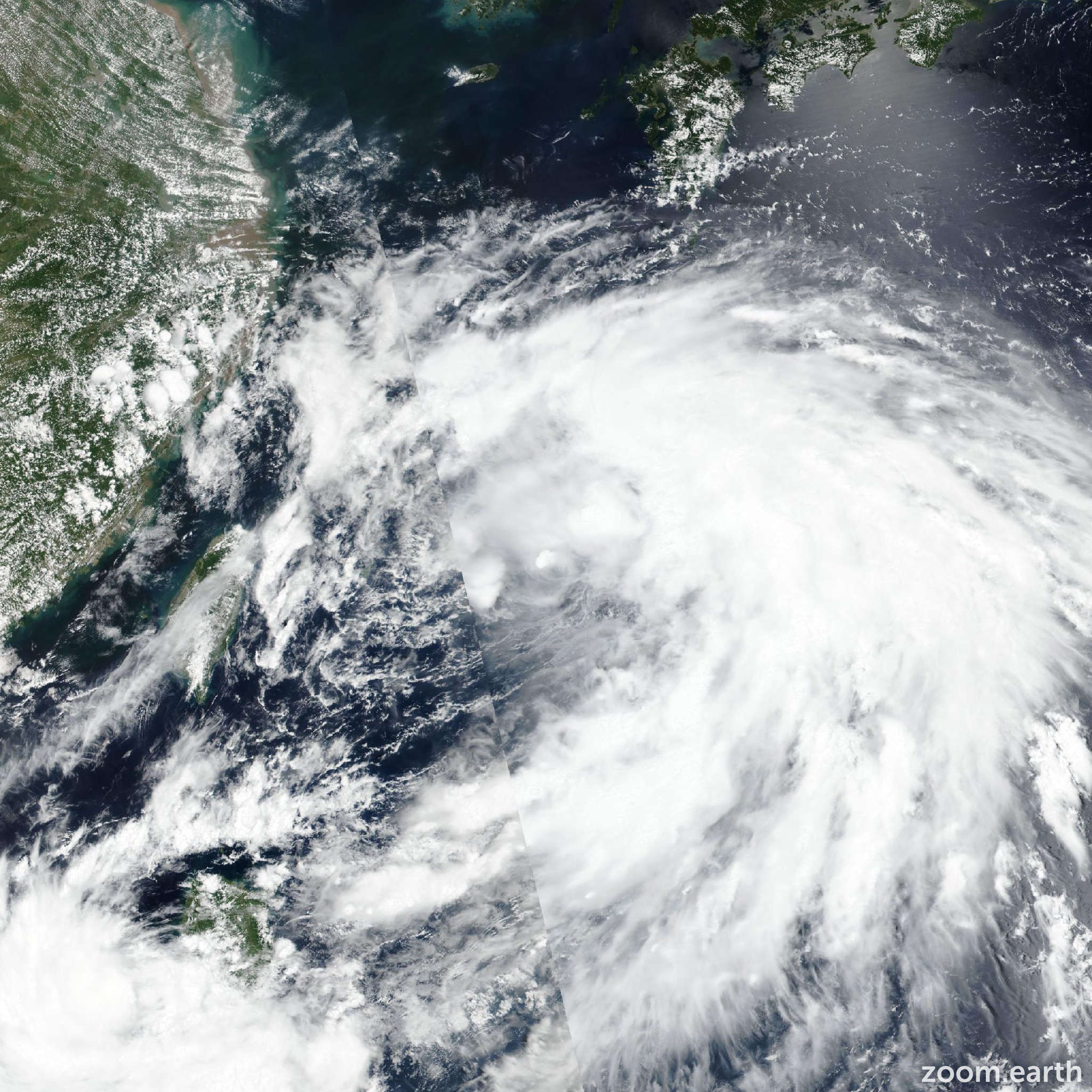
Live tracking map, satellite images and forecasts of Tropical Storm Francisco 2025 (台風7号) in the East China Sea. Current wind speed 65km/h. Max 75km/h.
Francisco (Philippine name Dante) is located 291 km west of Kadena Air Base, and has tracked west-northwestward at 37 km/h (20 knots) over the past 6 hours. Maximum significant wave height is 4.9 meters (16 feet).
Francisco has moved out smartly after passing south of Okinawa, accelerating beyond what was anticipated. However, as the vortex continues to shallow out and open up, the steering pressure on it will relax, allowing it to slow down just as quickly as it sped up.
The forecast calls for the system to gradually turn towards the south, as it steadily weakens and is absorbed into the larger monsoon gyre. The track will also be influenced by a brief binary interaction with Co-may, moving up from the south, passing in the vicinity of Miyakojima.
Neither system is expected to be strong enough to capture the other, but there will be a brief period of interaction as the two systems reach their closest point of approach in around 36 hours.
Due to the unfavorable environmental conditions, Francisco is forecast to steadily weaken over the next day or so, ultimately dissipating over water in 36 hours and potentially as early as the next 24 hours.
The remnant vortex and vorticity will likely continue turning towards the southeast after the end of the forecast, as it continues to merge with the evolving monsoon gyre.
Deterministic models are starting to lose the vortex and thus the model trackers are rapidly becoming unrepresentative of the expected forecast track.
The current package of guidance is for the most part going with persistence through the first 24 hours and running the system inland over eastern China.
The only model that shows a turn southward is the GFS, but it also pulls the system on a 180° turn at 24 hours which is highly unlikely. The JTWC forecast thus deviates outside of the model envelope after 12 hours. However, confidence is still high given the fact that the model trackers are losing the vortex itself and are not representative of the actual steering pattern.
Intensity guidance is in good agreement, with all models indicating dissipation between 24 to 36 hours.