Tropical Storm Vance 2026
Last Modified:
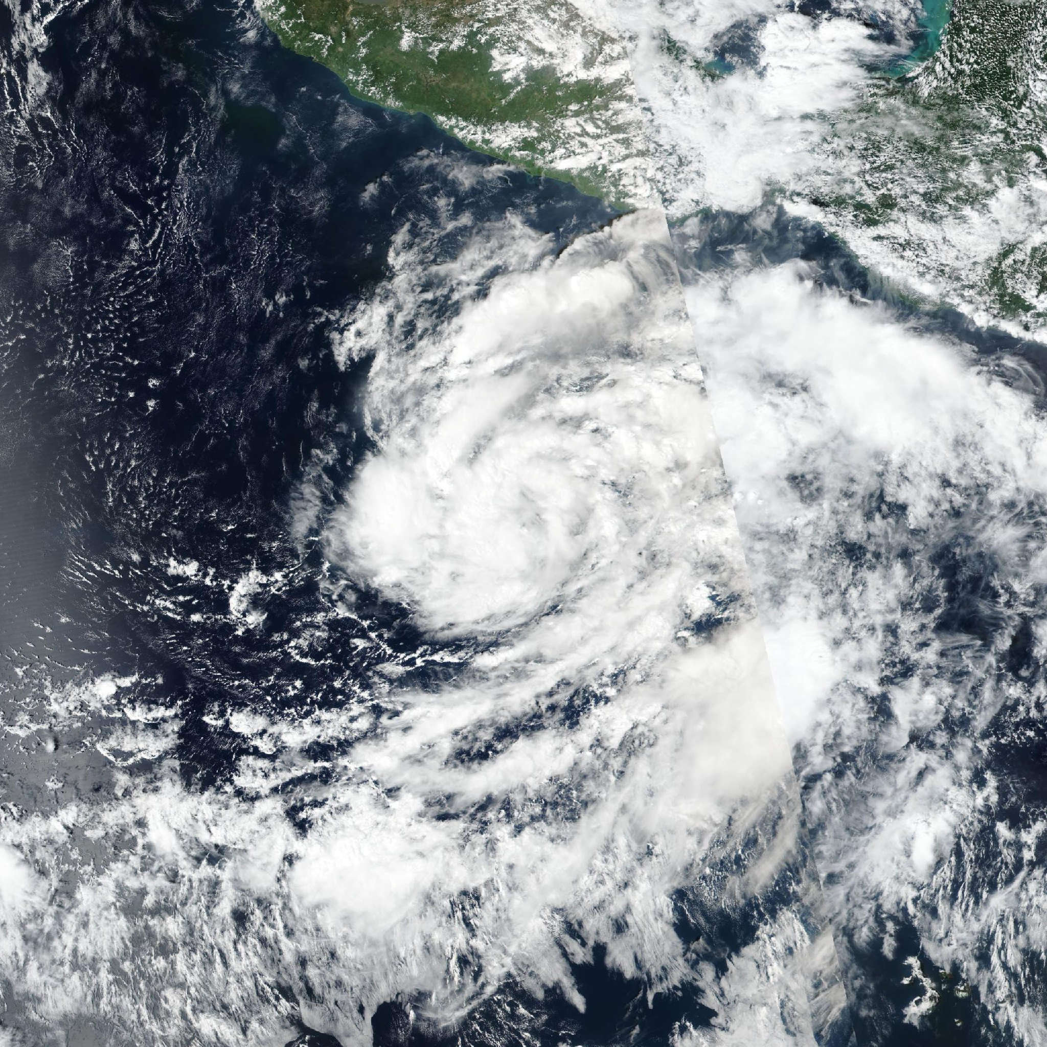
Live tracking map, satellite, radar, and forecasts of Tropical Storm Vance 2026 in the eastern Pacific Ocean. Current wind speed 65mph. Max 120mph.
Satellite imagery shows that Vance continues to become better organized and is strengthening. The storm has numerous convective bands, especially over its southern semicircle, and a small developing Central Dense Overcast. Upper-level outflow is becoming well defined over all quadrants of the circulation. The advisory intensity is set at 65 mph (55 knots) in agreement with a subjective Dvorak classification from TAFB. This is also close to a blend of the various objective intensity estimates from UW-CIMSS.
The center appears to be moving west-northwestward with a motion estimate of 300/4 knots. Vance is currently south of a mid-level high pressure area over western Mexico. Over the next few days, this ridge is forecast to weaken as a trough moves into the southwestern United States. As a result the tropical cyclone should turn toward the northwest and north-northwest over the next 72 hours. Late in the forecast period, the trough moves eastward and leaves Vance in a region of weak steering currents. The official forecast track is nudged a little east of the previous one and is generally a blend of the Google DeepMind ensemble and the NOAA corrected consensus, HCCA, solution.
Vance is in an environment that is generally conductive for significant intensification during the next couple of days, with low vertical wind shear, high oceanic heat content and plenty of mid-level moisture. The NHC intensity forecast remains about the same as in previous advisories and near the high end of the model guidance suite. However it should be noted that the track of the cyclone could eventually take it over waters that have been cooled by the passage of recent tropical cyclones. This, along with some increase in vertical shear later in the forecast period, could limit strengthening. So, there is a fair amount of uncertainty in the future intensity of Vance.