Measure Distance

Measure Area

Click on the map to add points. Double‑click to finish.

Tap on the map to add points.

Remnant Low Senyar 2025

Last Modified:

Remnant Low Senyar

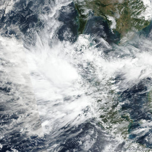
Live tracking map, satellite, radar, and forecasts of Senyar 2025 over Malaysia. Current wind speed 45km/h. Max 85km/h.

Senyar is located 1059 km southwest of Ho Chi Minh City, Vietnam, and has tracked eastward at 9 km/h (5 knots) over the past 6 hours. Minimum central pressure at 27/00:00 UTC is 1005 hPa. Maximum significant wave height is 2.4 meters (8 feet).

Satellite imagery shows Senyar with a partially obscured low-level circulation center with associated sporatic and short-lived flaring convection throughout the Strait of Malacca.

Analysis shows that Senyar is in an unfavorable environment, characterized by high wind shear (20–25 knots) and increased frictional impacts due to land interaction as the system approaches the west coast of Malaysia.

Over the next 12 hours, Senyar is forecasted to continue eastward and make landfall in 12 hours. Regarding intensity, the JTWC intensity forecast is aliged closely to the JTWC consensus, maintaining 45 km/h (25 knots) until the end of the forecast period.

This is the final warning on this system by JTWC. The system will be closely monitored for signs of regeneration.