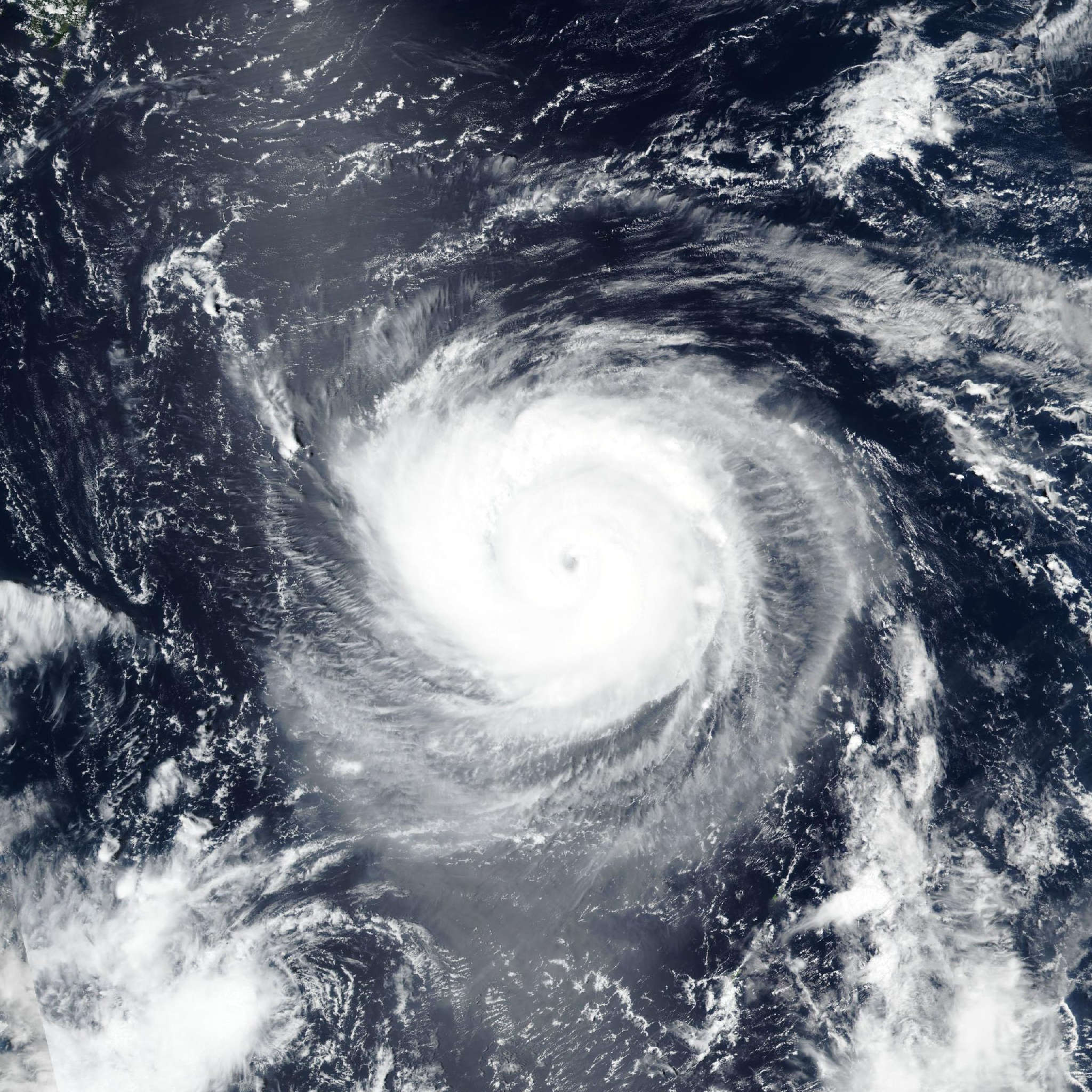
Tropical Storm Saudel 2026
Last Modified:
Live tracking map, satellite, radar, and forecasts of Tropical Storm Saudel 2026 (台風18号) in the western Pacific Ocean. Current wind speed 65km/h. Max 230km/h.
Saudel (Japanese Typhoon Number 18) is located 267 km east-northeast of Chuuk, and has tracked northward at 7 km/h (4 knots) over the past 6 hours. Maximum significant wave height is 4.6 meters (15 feet).
Track speeds are expected to increase over the next 12 hours as the subtropical ridge currently positioned south of Honshu weakens and retreats northward, letting Saudel gain latitude.
Simultaneously, a separate subtropical ridge to the northeast is expected to build and extend southwestward, becoming the primary steering mechanism throughout the remainder of the forecast period.
The closest point of approach to Saipan continues to be around 259 km occurring at 22/06:00 UTC. The trajectory is forecast to become more west-northwestward after 3 days as ridging extends to the north of Saudel.
The environment is forecast to improve over the next 12 hours as the dry air entrainment from the north lessens, allowing for the core of the vortex to moisten.
Along with the axisymmetrization of the wind field, Saudel is forecast to steadily intensify over the next 2 days to around 130 km/h (70 knots). A more rapid rate of intensification is possible during this time if the symmetrization process occurs more quickly.
After 2 days, Saudel is forecast to rapidly intensify over the next 3 days as the system takes advantage of strong dual channel outflow, very warm (over 30°C) sea surface temperatures, and high ocean heat content values east of the Marianas.
Saudel is then forecast to further intensify to a peak of around 230 km/h (125 knots) at 4 days with a steady intensity over the next 5 days as the system begins to enter an area of increased northerly shear and lower ocean heat content.
Track guidance is in good agreement over the next 3 days with no notable outliers present. The cross-track spread at 3 days is measured to be about 185 km.
After 3 days, NAVGEM becomes a poleward outlier, tracking the vortex closer to Iwo To. Discounting NAVGEM, cross-track spread increases to 389 km at 5 days.
The JTWC track forecast is placed close to the multi-model consensus over the next 3 days and then slightly to the south over the next 5 days to offset NAVGEM.
Intensity guidance is in less agreement this model run. Multiple rapid intensification (RI) aids have triggered, and they suggest a much quicker rate of intensification over the next 2 days.
The RI aids are grouped around a 175 km/h intensity (95 knots) at 2 days while the non-RI aids (such as HAFS-A) are around 100–120 km/h (55–65 knots). Given the asymmetry in the wind field, the JTWC intensity forecast is placed closer to the non-RI aids over the next 2 days.
Models then generally agree on RI over the next 3 days. Peak intensities range from 195–270 km/h (105–145 knots) at 4 days with CTR1 (COAMPS-TC RI) being the most aggressive.
The JTWC forecast calls for a peak intensity of 230 km/h (125 knots), on the higher end of the guidance envelope due to the expected highly favorable environment east of the Marianas.