Tropical Cyclone Rae 2025
Last Modified:
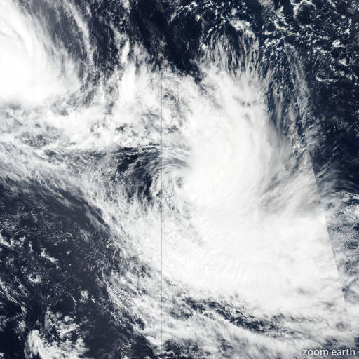
Live tracking map, satellite images and forecasts of Tropical Cyclone Rae 2025 south of Fiji in the South Pacific Ocean. Current wind speed 120km/h. Max 150km/h.
Rae is located 267 km east-southeast of Suva, Fiji, and has tracked southward at 22 km/h (12 knots) over the past 6 hours. Maximum significant wave height is 9.1 meters (30 feet).
Rae will move slowly to the south over the next 12 hours before curving southeastward as the system rounds the western edge of the near-equatorial ridge.
The system will intensify slightly to a peak of 130 km/h (70 knots) over the next 12 hours while in a favorable environment with moderate wind shear, warm sea surface temperatures, and a strong poleward outflow channel. However, as the system tracks poleward towards the subtropical jet to the south, wind shear will increase and inject dry air into the vortex.
The system will move into an area of cooler water at 36 hours which will initiate subtropical transition in tandem with the jet influence. In 2 days, subtropical transition will be complete.
Deterministic model guidance is in strong agreement that the system will curve southeastward throughout the forecast period. The cross-track spread of the JTWC multi-model consensus is 120 km in 2 days.
The intensity guidance dropped significantly since the last initialization, but remains in good agreement that a peak intensity will occur within the next 12 to 24 hours.