Measure Distance

Measure Area

Click on the map to add points. Double‑click to finish.

Tap on the map to add points.

Tropical Storm Peilou 2026

Last Modified:

Tropical Storm Peilou

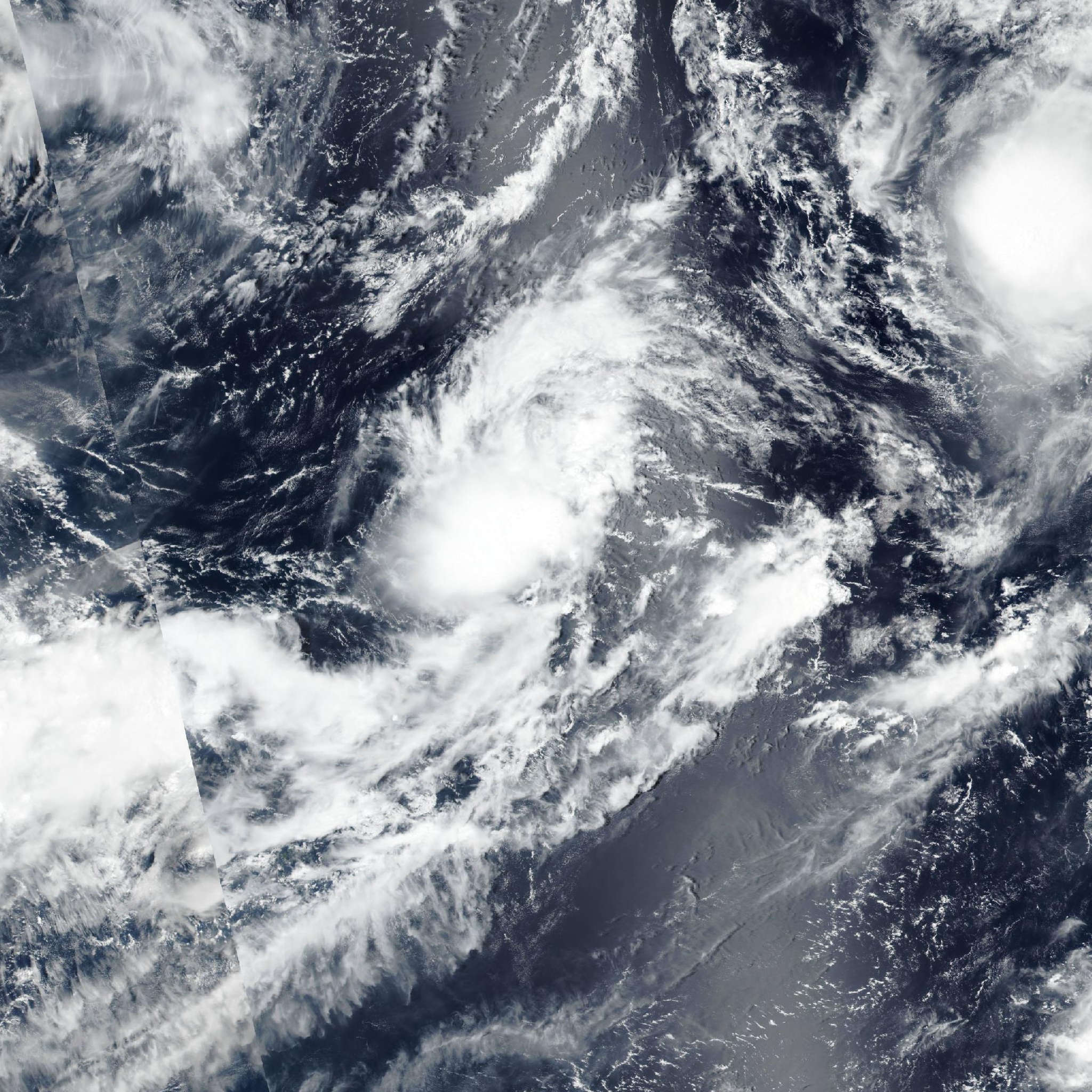
Live tracking map, satellite, radar, and forecasts of Tropical Storm Peilou 2026 (台風16号) in the western Pacific Ocean. Current wind speed 75km/h.

Peilou (Philippine name Maymay, Japanese Typhoon Number 16) is located 837 km north-northeast of Andersen Air Force Base, and has tracked eastward at 44 km/h (24 knots) over the past 6 hours. Maximum significant wave height is 4.6 meters (15 feet).

Peilou is forecast to continue on an east-northeastward track out over the next 12 hours before taking a more poleward turn as it remains under the steering influence of the strong low-level monsoonal flow and, to a lesser extent, the eastern extension of a near-equatorial ridge centered to the southwest, with both contributing to the same resultant track.

Regarding intensity, Peilou is currently in an area of increased outflow aloft thanks to the upper-level trough positioned to the northwest, however this trough is expected to pass over Peilou and retreat in 36 hours at which point the system is expected to experience increased northwesterly shear caused by strong upper level westerlies and ensuing dry air entrainment. Therefore, Peilou is forecast to begin a weakening trend at 24 hours and ultimately dissipate in 60 hours.

Track model guidance is in good agreement for the remainder of the forecast period with a cross-track spread of 259 km at 60 hours.

Model track speed has also come into better agreement, with the only outlier of NAVGEM being excluded as much slower, along-track spread is 157 km at 60 hours.

The official JTWC forecast track is placed with high confidence, in line with the multi-model consensus and slightly faster more in accordance with the AI consensus.

Intensity model guidance has also come into better agreement with Decay-SHIPS (GFS based) remaining the only outlier with a gradual intensification trend out over the next 4 days, the remainder of guidance agrees on a general weakening phase beyond 24 hours.

The official JTWC forecast intensity is assessed with medium confidence, closely in line with the multi-model consensus out over the next 36 hours but then diverging from the bulk of guidance expecting dissipation in 60 hours, in line with all global deterministic model fields which picture Peilou opening into a trough by that point.