Tropical Storm Omais (Isang) 2021

Last Modified:
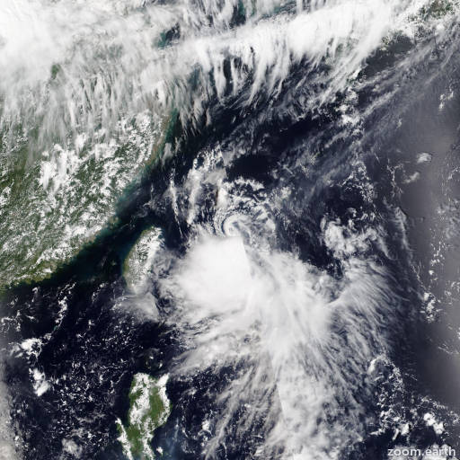
Satellite images, weather maps and tracks of Severe Tropical Storm Omais 2021, August 7 - 24. Max wind speed 100km/h.

Omais (Philippine name Isang) is located 250 km south-southwest of Jeju Island, South Korea, and has moved northward at 44 km/h (24 knots) over the past 6 hours.

Satellite imagery shows the fully-exposed low-level circulation has begun to elongate and unravel as it accelerated deeper into higher relative wind shear in the East China Sea.

The system has been stripped of any convection. The initial position is placed with high confidence based on the defined LLC in the satellite imagery loop.

Analysis shows an unfavorable environment with high (40 knots+) wind shear and cooling sea surface temperatures (27°C and decreasing) slightly offset by medium equatorward outflow.

Omais will continue to accelerate northeastward along the poleward side of the subtropical ridge to the east, cross South Korea, and exit into the Sea of Japan after 12 hours.

The harsh environment plus land interaction will dissipate the system in 12 hours.

This is the final warning on this system by JTWC. The system will be closely monitored for signs of regeneration.

Maximum significant wave height is 3 meters (10 feet).

Information provided by the Joint Typhoon Warning Center (JTWC).