Measure Distance

Measure Area

Click on the map to add points. Double‑click to finish.

Tap on the map to add points.

Tropical Storm Norbert 2026

Last Modified:
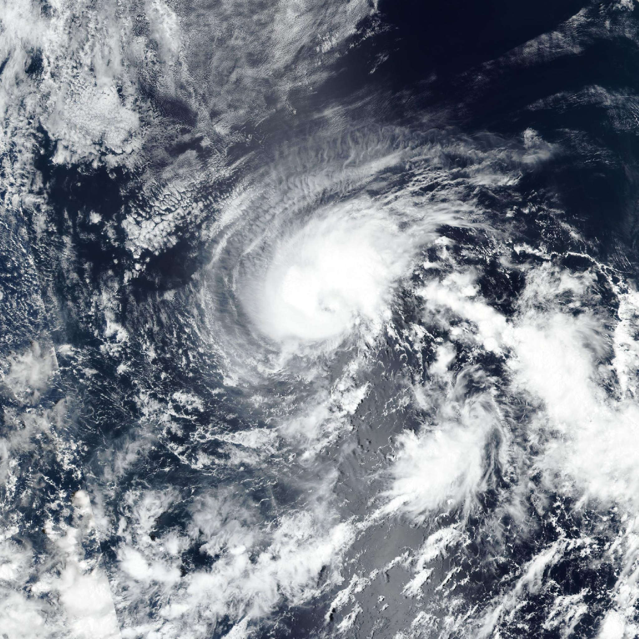
Tropical Storm Norbert

Live tracking map, satellite, radar, and forecasts of Tropical Storm Norbert 2026 in the eastern Pacific Ocean. Current wind speed 50mph. Max 65mph.

Norbert’s overnight burst of convection has faded since the previous advisory, however proxy-visible satellite imagery shows that a new convective burst appears to be developing. Water vapor imagery shows that there is still plenty of dry air surrounding the system. The latest TAFB Dvorak fix came in with an intensity of 50 mph (45 knots), and the UW-CIMSS objective intensity estimates are in the range of 37–43 knots. Therefore the initial intensity remains at 50 mph (45 knots) for this advisory.

The initial motion is estimated to be 285/10 knots. The storm is expected to move west-northwestward to westward as it moves to the south of a low- to mid-level subtropical ridge. The track guidance continue to show good agreement on this general heading of the cyclone. The current NHC track forecast has been nudged a little right of the previous forecast track and remains close to the multi-model consensus (HCCA) and the Google DeepMind (GDMI) ensemble mean.

Some fluctuations in intensity are possible in the short term as Norbert remains in a marginal environment. The cyclone is contending with mid-level dry air intrusions and light west-southwesterly vertical wind shear. After 12 hours, the wind shear is expected to increase, which should result in a generally weakening trend. Around 60 hours, the simulated GFS and ECMWF satellite imagery shows that the cyclone should lose organized deep convection and it is therefore expected to become a post-tropical remnant low and then dissipated around 72 hours. The current NHC intensity forecast is in line with the latest guidance including the HCCA and GDMI.