Tropical Depression Narra 2026
Last Modified:
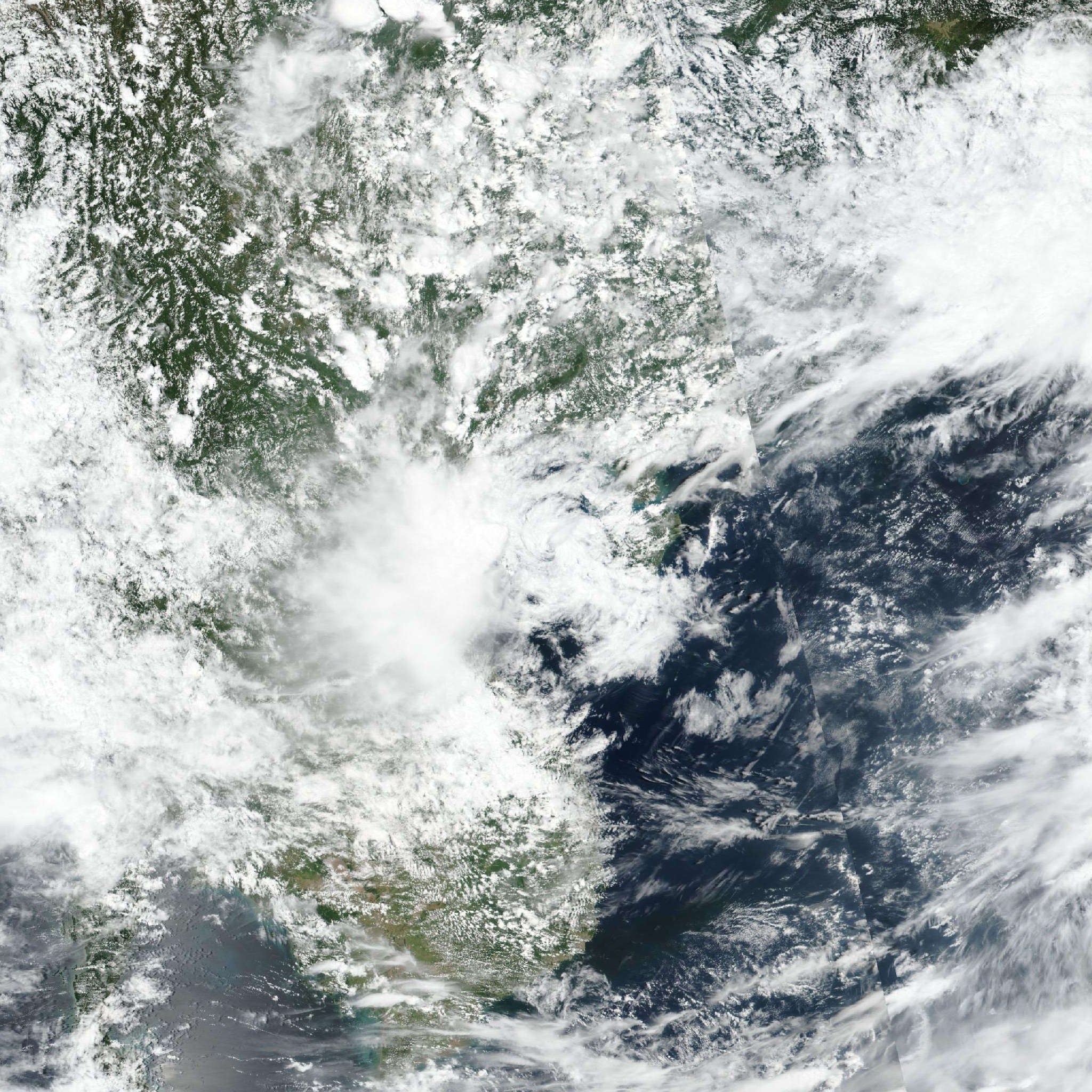
Live tracking map, satellite, radar, and forecasts of Tropical Depression Narra 2026 (台風19号) near Vietnam. Current wind speed 55km/h. Max 65km/h.
Narra (Japanese Typhoon Number 19) is located 248 km east of Hanoi, Vietnam, and has tracked northward at 4 km/h (2 knots) over the past 6 hours. Maximum significant wave height is 3 meters (10 feet).
Narra is forecast to continue meandering, generally counterclockwise loop within the Gulf of Tonkin for the remainder of the forecast period before making landfall and dissipating in the vicinity of beihai in 4 days.
An erratic track in the short-term is expected as Narra remains in a weak steering environment between the influence of a near-equatorial ridge centered to the southwest and a subtropical ridge centered to the north of Narra.
Currently, the near-equatorial ridge is assessed as being a more dominant factor, causing the initial southward movement in track until the next 2 days, at which point the near-equatorial ridge retreats to the southwest and the subtropical ridge centered to the north builds and connects with another subtropical ridge centered over Kyushu, causing a poleward turn in 60 hours and landfall to the east of the Leizhou Peninsula.
Regarding intensity, Narra is expected to have a short window for intensification in the short term as the wind shear momentarily abates and outflow aloft improves. This is expected to be short-lived, and in 2 days wind shear will sharply increase to over 45 km/h (25 knots), introducing mid-level drier air, beginning dissipation of Narra over water in 3 days before it makes landfall and dissipates in 4 days.
Track model guidance is in poor overall agreement as there continues to be a wide spread of expected directions and track speed, although there remains agreement on the general southward motion of Narra out over the next 2 days.
GFS is the westernmost solution and maintains Narra over water for the entirety of the forecast period. Conversely, GALWEM and the experimental Google DeepMind take Narra the farthest east, depicting possible landfall over northern Hainan and the southern tip of the Leizhou Peninsula before continuing out into the South China Sea.
The official JTWC forecast track is placed with low confidence, closely in line with the multi-model consensus excluding NAVGEM, also closely in line with the track of the AI consensus, which both fall within the center of the guidance package.
Regarding intensity, the GFS and ECMWF global models show different environmental outlooks in the short-term, lending some uncertainty to the intensity forecast.
ECMWF predicts more favorable wind shear in 12 to 36 hours, allowing for Narra to intensify, while GFS is more conservative, maintaining wind shear above 30 km/h (15 knots) during this period and thus less chance for intensification.
The official JTWC intensity forecast is assessed with low confidence, closely in line with the deterministic GFS solution.