Typhoon Mekkhala (Ferdie) 2020
Last Modified:
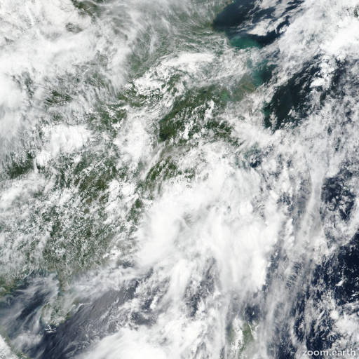
Satellite images, weather maps and tracks of Typhoon Mekkhala 2020, August 8 - 12. Max wind speed 130km/h.
Typhoon Mekkhala (Philippine name Ferdie), located approximately 216 nautical miles west-southwest of Taipei, Taiwan, has tracked north-northwestward at 13 knots over the past six hours.
Animated multispectral satellite imagery shows that typhoon Mekkhala is quickly becoming sheared, with the outer low level bands on the north side of the system now exposed, but with deep convection remaining in place over and south of the assessed center.
The initial position is placed with high confidence based on composite Chinese radar data.
A reassessment of earlier intensity estimates has led to an increase in the initial intensity at the 10/18:00 UTC position to 65 knots based on AMSR2 windspeed estimate of 64 knots at 17:43 UTC.
A subsequent 10/21:00 UTC intermediate position intensity has also been increased to 70 knots based on buoy data reporting a 10-min average wind of 63 knots, which equates to a 69 knots 1-min average.
Typhoon 07W made landfall along the Chinese coast around 22:00 UTC and is now moving further inland.
The system is forecast to continue tracking northward while weakening, fully dissipating overland by hour 36.
Dynamic model guidance is in tight agreement, lending high confidence to the JTWC track.
This is the final warning on this system by JTWC.
The system will be closely monitored for signs of regeneration.
Maximum significant wave height at 11/00:00 UTC is 15 feet (4.6 meters).
Information provided by JTWC.