Measure Distance

Measure Area

Click on the map to add points. Double‑click to finish.

Tap on the map to add points.

Hurricane Marie 2026

Last Modified:
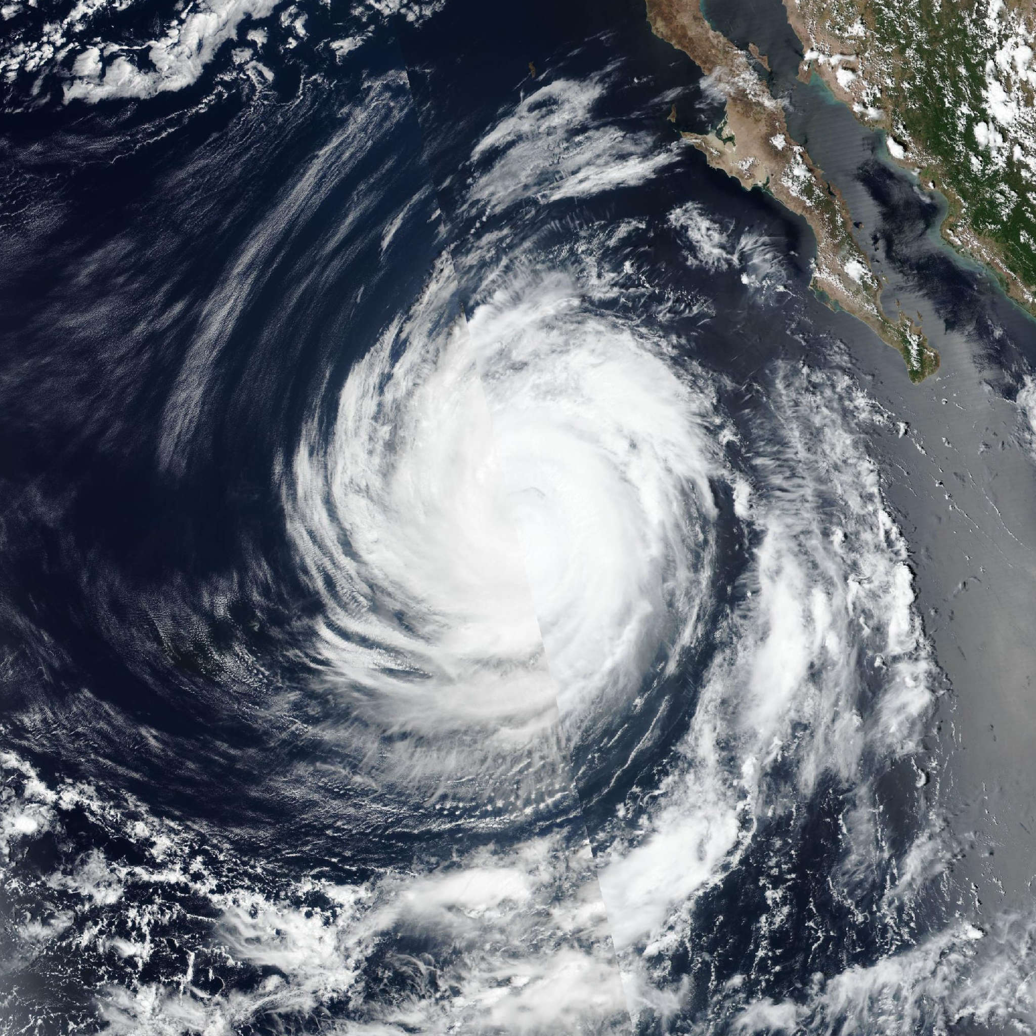
Hurricane Marie

Live tracking map, satellite, radar, and forecasts of Hurricane Marie 2026 in the eastern Pacific Ocean. Current wind speed 75mph. Max 100mph.

Satellite imagery shows that Marie continues to gradually lose convective organization. The latest subjective Dvorak estimate from TAFB is 75 mph (65 knots), and objective intensity estimates have fallen to the 55–62 range. A 17:34 UTC partial ASCAT-B overpass shows some 50-knot vectors in the eastern semicircle. The initial intensity is lowered to a possibly generous 75 mph (65 knots) for this advisory.

Marie is traveling over 25°C sea-surface temperatures and through a dry air mass. The cyclone will continue moving over progressively cooler water and into a progressively drier airmass over the next couple of days. Therefore, continued steady weakening is forecast. Although vertical wind shear is weak right now, southwesterly shear is forecast to increase in 36–48 hours as Marie approaches the aforementioned mid- to upper-level low to its northwest. Little to no change has been made to the previous NHC intensity forecast. This forecast lies near the higher end of the guidance suite. Marie is now forecast to lose it's convection and become a post-tropical remnant low by day 3 (Wednesday). After the system becomes post-tropical, global models show it weakening and dissipating in 4 to 5 days.