Tropical Storm Maria 2026
Last Modified:
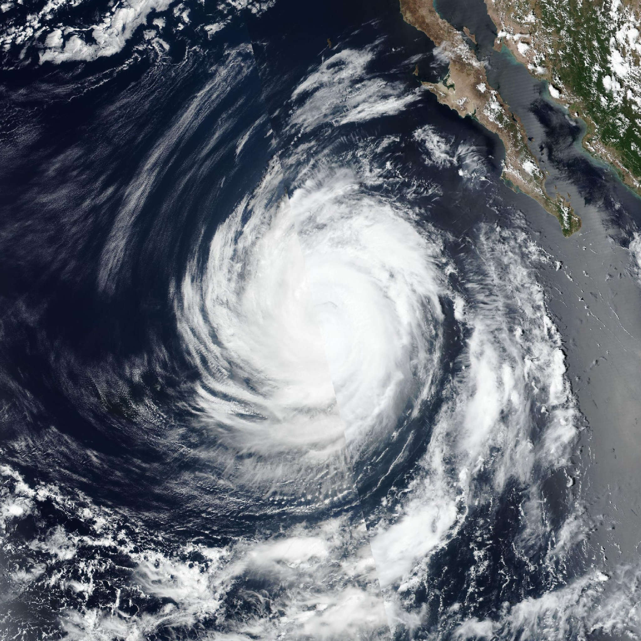
Live tracking map, satellite, radar, and forecasts of Tropical Storm Maria 2026 southwest of Mexico. Current wind speed 60mph. Max 105mph.
The satellite presentation of Marie continues to improve with curved bands over the northern and eastern portions of the circulation. Recent scatterometer data shows that Marie has a large wind field with tropical-storm-force winds extending outward up to 160 nautical miles over the eastern semicircle. The ASCAT data revealed peak winds of 50 mph (45 knots) and given the typical undersampling of that instrument, the initial intensity has been raised to 60 mph (50 knots). That value is near a consensus of the various subjective and objective satellite intensity estimates.
The storm will be moving over sea surface temperatures around 29°C and remain in a low shear environment during the next couple of days. With the large radius of maximum winds, it may take a little time for the system to establish an inner core, but once that occurs steady intensification is likely. The NHC intensity forecast is a little higher than the previous forecast and lies between the HCCA and GDMI models. There is some potential that Marie could strengthen more quickly over the next day or two than indicated in the forecast below. After day 4, cooler sea surface temperatures and a more stable air mass are expected to cause gradual weakening.
Marie continues to move northwestward around the western portion of a mid-level ridge over Mexico. A narrow ridge is forecast to establish itself to the north of Marie in a day or two, which should cause the system to turn west-northwestward. After 72 hours, an amplifying mid-level trough along the west coast of the United State could cause Marie to slow down. It is after that time period that there is larger spread in the track guidance. The NHC forecast leans closer to the typically reliable HFIP corrected consensus model and the Google Deep Mind ensemble mean.