Hurricane Lala 2026
Last Modified:
Live tracking map, satellite, radar, and forecasts of Hurricane Lala 2026 in the central Pacific Ocean. Current wind speed 85mph. Max 130mph.
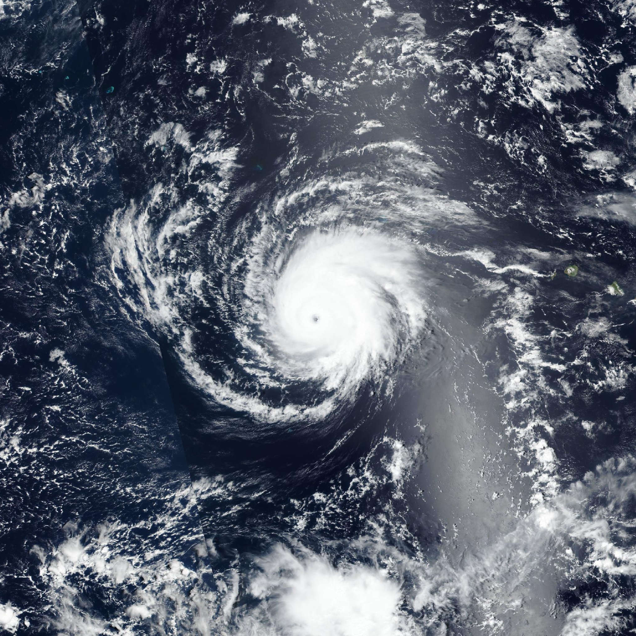
Lala has become more asymmetrical this afternoon (21 August) due to strong southwesterly vertical wind shear displacing the convection mostly to the north of the low-level center. A recent GPM microwave pass shows that the low- and mid-level centers are becoming tilted due to the shear. Dry air has also started to intrude into the system, with convection warming and broken banding features. The latest subjective and objective intensity aids have decreased as well following the degraded satellite appearance, with estimates ranging from 63 to 90 mph (77 knots). Using these estimates and the current satellite trends, the intensity is lowered to 85 mph (75 knots) for this advisory.
Lala is moving northward at an estimated motion of 355/8 knots. The system should begin to turn northwestward later tonight into Saturday as a mid-level ridge builds to the east of the cyclone. Lala will move around the western periphery of the ridge, towards the northwest, throughout the forecast period at a slightly slower forward speed. The latest NHC track forecast is nudged slightly to the left toward the latest consensus aids.
Although the southwesterly shear is forecast to decrease later tonight or early Saturday, Lala is expected to track over progressively cooler sea surface temperatures and remain embedded within a dry mid-level environment. Thus, the system is forecast to continue weakening throughout the forecast period. The latest NHC intensity forecast is similar to the previous and shows a gradual weakening trend.