Typhoon Kujira 2020

Last Modified:
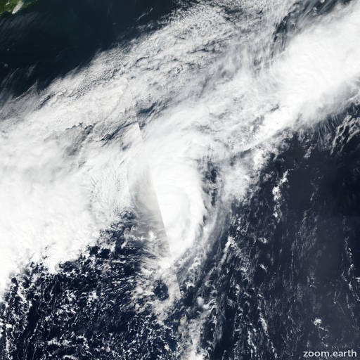
Satellite images, weather maps and tracks of Typhoon Kujira 2020, September 26 - 30. Max wind speed 120km/h.

Tropical Storm Kujira, located approximately 802 nautical miles east of Misawa, Japan, has tracked northeastward at 21 knots over the past six hours.

Enhanced infrared (EIR) satellite imagery indicates the system has accelerated northeastward and elongated along the northern periphery.

The initial position is placed with fair confidence based on low level cloud lines apparent in the EIR loop that are feeding into a partially obscured low level circulation center.

The initial intensity is place with fair confidence and is based on the weakening trend in multi-agency Dvorak intensity estimates of T3.0/3.5 (PGTW) and T3.5/4.0 (RJTD).

Environmental analysis indicates the system has drifted into high (40+ knots) vertical wind shear, cold (<25°C) sea surface temperatures and has entered into the baroclinic zone.

The system has begun extratropical transition (ETT) and will complete ETT by hour 12.

Numerical model solutions remain in tight agreement throughout the remainder of the forecast period, lending high overall confidence in the JTWC forecast track.

This is the final warning on this system by JTWC.

The system will be closely monitored for signs of regeneration.

Maximum significant wave height at 29/18:00 UTC is 23 feet (7 meters).

Justification for correction: added discussion of extratropical transition and storm status to remarks.

Information provided by JTWC.