Tropical Depression Krovanh (Pilandok) 2026
Last Modified:
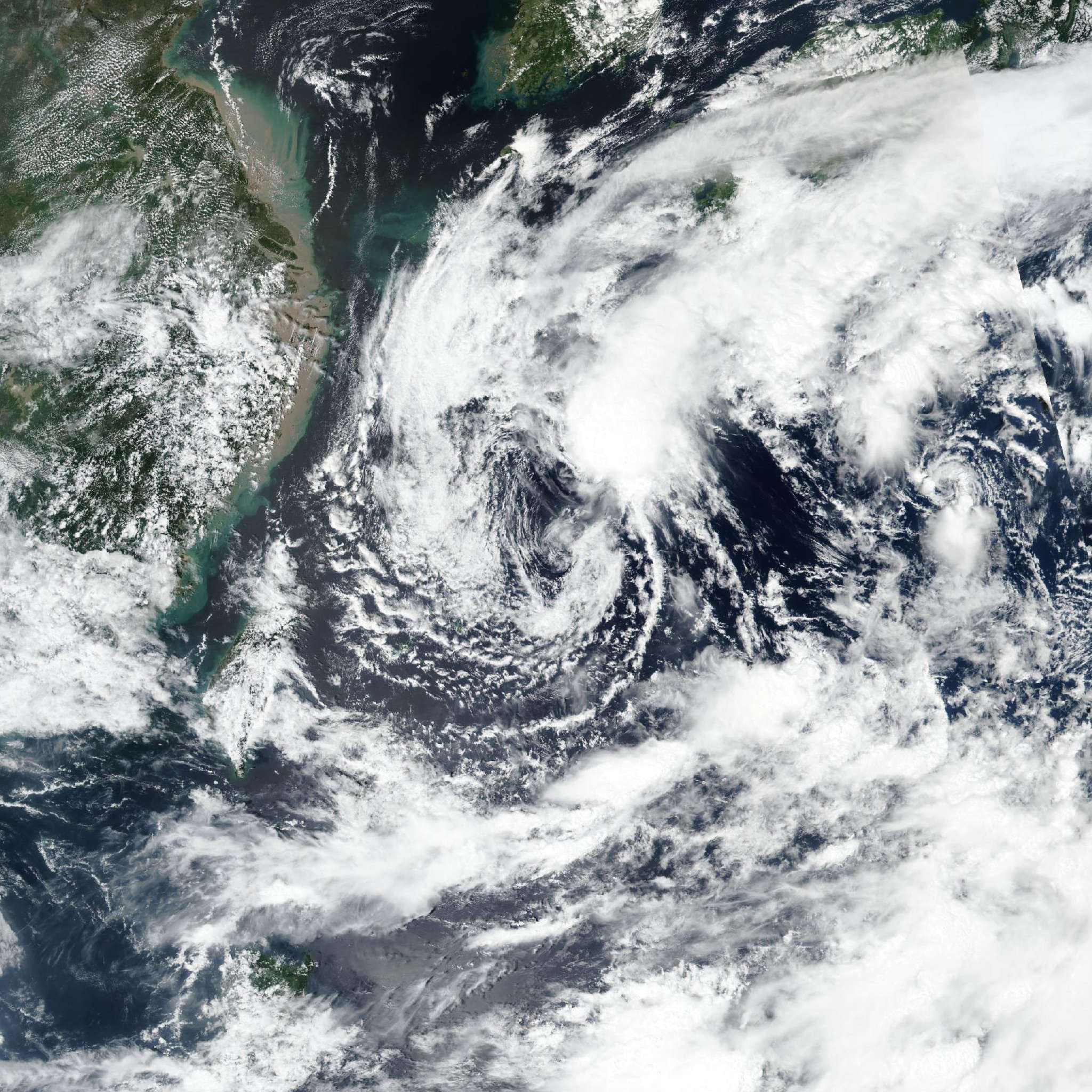
Live tracking map, satellite, radar, and forecasts of Tropical Depression Krovanh 2026 (台風24号) in the Philippine Sea. Current wind speed 55km/h. Max 75km/h.
Krovanh (Philippine name Pilandok, Japanese Typhoon Number 24) is located 674 km southeast of Kadena Air Base, and has tracked northwestward at 15 km/h (8 knots) over the past 6 hours. Maximum significant wave height is 5.8 meters (19 feet).
Krovanh has started on a northwestward track over the past few hours as it slowly consolidates and comes under the steering influence of the subtropical ridge to the northeast.
The northwestward track is expected to continue as the system accelerates over the next 36 hours toward the Ryukyu Islands. After 36 hours, the steering subtropical ridge is expected to be weakened by a passing midlatitude trough and leave Krovanh in an uncertain and weak steering environment.
The system is expected to remain largely quasi-stationary in the vicinity of the Ryukyu Islands in 39 hours to 4 days, during which time there is a high degree of uncertainty in its motion.
In 5 days the system is expected to have made a generally southeastward shift as a result of its time in the weak steering environment. In regard to intensity, the slow consolidation is expected to continue and the system is expected to remain very broad and poorly organized, resulting in very gradual intensification over the next 60 hours.
After 60 hours, increasing wind shear will contribute to the gradual weakening trend. Model track guidance has come into slightly better agreement during the first 36 hours of the forecast.
After 36 hours there is very poor agreement throughout the end of the forecast period as a result of the ambiguous steering environment and broad nature of the vortex.
Eventually, nearly all models suggest the system will turn around and gain a southeastward track, but with no consensus on the timing and location.
The JTWC track forecast attempts to synthesize a consensus solution from the varied confidence but with low confidence throughout the forecast period.
Intensity guidance generally agrees about the gradual increase in intensity followed by gradual weakening, however, the rate of consolidation in the near term and uncertainty about the track in the longer term still lend low confidence to the JTWC intensity forecast.