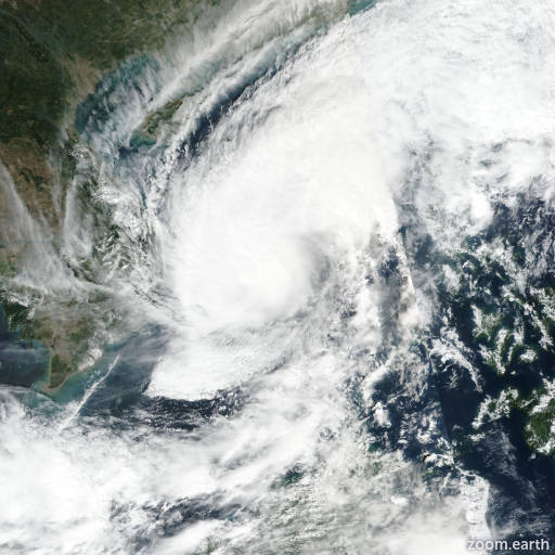
Tropical Storm Koto 2025
Last Modified:
Live tracking map, satellite, radar, and forecasts of Tropical Storm Koto 2025 (台風27号) near Vietnam. Current wind speed 95km/h. Max 140km/h.
Koto (Philippine name Verbena) is located 613 km southeast of Da Nang, Vietnam, and has tracked west-northwestward at 7 km/h (4 knots) over the past 6 hours. Maximum significant wave height is 6.7 meters (22 feet).
Koto is forecast to churn slowly poleward over the next 2 days along the western edge of the subtropical ridge positioned to the east.
The system will maintain intensity near 95 km/h (50 knots) due to dry air entrainment, persistent southerly wind shear, and possibly cool upwelling water.
After 2 days, the system is forecast to track southwestward under the steering influence of the western subtropical ridge, with steady weakening as the system approaches Vietnam.
Deterministic guidance is in poor agreement with a large spread through the forecast period. In general, the bulk of the deterministic guidance shows a brief 36–48 hour poleward track then a westward to southwestward track after 2 days toward the coast of Vietnam.
The 28/00:00 UTC EPS run shows a similar track and spread supporting the JTWC track forecast with medium confidence. The 28/00:00 UTC GEFS run is chaotic with a large spread and solutions varying from a westward track into central Vietnam to a southward track.
Reliable intensity guidance is in fair agreement over the next 2 days with a fairly flat intensity trend. After 2 days, the guidance diverges with COAMPS-TC (GFS boundary conditions) and GFS indicating a modest intensification in 60 to 84 hours.
Conversely, HAFS-A and COAMPS-TC (NAVGEM) show significant weakening.