Tropical Storm Koguma 2026
Last Modified:
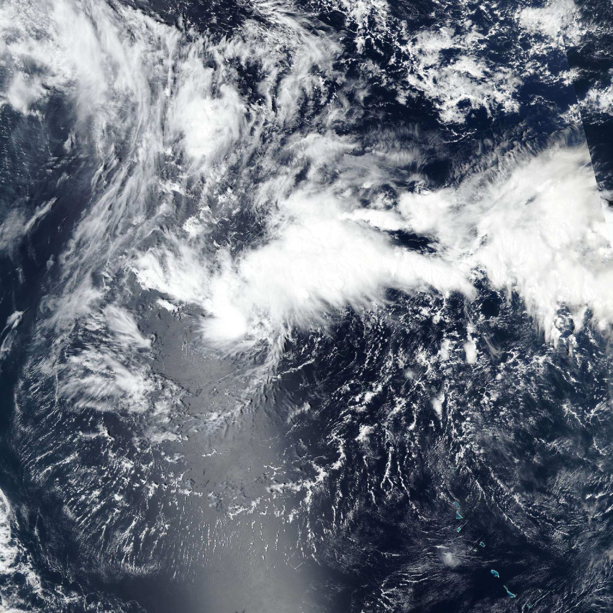
Live tracking map, satellite, radar, and forecasts of Tropical Storm Koguma 2026 (台風29号) in the western Pacific Ocean. Current wind speed 65km/h. Max 205km/h.
Koguma (Japanese Typhoon Number 29) is located 257 km north of Kwajalein, and has tracked northward at 9 km/h (5 knots) over the past 6 hours. Maximum significant wave height is 3.7 meters (12 feet).
Koguma is forecast to track generally northward under the influence of the near-equatorial ridge to the southeast over the next 24 hours.
After 24 hours, the subtropical ridge to the north will become the primary steering mechanism, guiding Koguma northwestward over the next 4 days.
In around 4 days, the system will approach the southwestern extent of the steering ridge and begin to turn slightly more poleward over the next 5 days.
Regarding intensity, Koguma is forecast to gradually intensify over the next 60 hours to around 120 km/h (65 knots) as the environment remains marginally favorable.
The primary hindrance is expected to be easterly shear, which is anticipated to increase starting at 24 hours. The shear is forecast to decrease after 60 hours, allowing for a quicker rate of intensification. Additionally, poleward outflow will begin to increase at 4 days, further supporting the intensification trend.
Model track guidance is in good agreement throughout the forecast period with no notable outliers present. The cross-track spread is measured to be about 259 km at 3 days and 426 km at 5 days.
The Google DeepMind ensemble mean is situated as the southernmost tracker while the GEFS mean is the northernmost. The JTWC track forecast is placed near the multi-model consensus with high confidence over the next 3 days and then medium confidence over the next 5 days.
Intensity guidance is in moderate agreement with the notable exception of COAMPS-TC (GFS-based) which shows a much more rapid rate of intensification through the first 36 hours to an intensity of 175 km/h (95 knots).
The remainder of guidance generally agrees on gradual development over the next 60 hours followed by quicker development over the next 5 days.
The JTWC intensity forecast is placed slightly below the consensus over the next 36 hours to offset COAMPS-TC and then near the consensus over the next 5 days with medium confidence.