Tropical Storm Karl 2016
Last Modified:
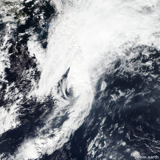
Satellite images, weather maps and tracks of Tropical Storm Karl 2016, September 12 - 26. Max wind speed 70mph.
While Karl was producing a large shield of deep convection earlier, the convective tops have since warmed substantially and decreased in coverage. The cyclone's cloud pattern resembles a baroclinic leaf, which is the typical satellite signature of a system that has become a frontal wave. The leading edge of a stratocumulus cloud deck, indicative of cold-air advection, is also encroaching on the low-level center. Based on these developments and FSU Phase Space diagrams that already show the cyclone as cold core, Karl is being declared an extratropical cyclone. The initial intensity estimate is held at 60 knots in agreement with earlier Global Hawk sonde data and the cyclone's rapid translational speed. Global models show Post-Tropical Karl being absorbed by a larger extratropical storm over the North Atlantic after about 24 hours.
A series of earlier microwave images showed that the center was rapidly becoming deformed due to nearly 50 knots of southwesterly shear. Since this has made finding the location of the low-level center difficult, the initial motion estimate is a rather uncertain 055/42. The post-tropical cyclone is expected to accelerate a bit further toward the northeast and then turn north-northeast before losing its identity.
Information provided by NHC.