Measure Distance

Measure Area

Click on the map to add points. Double‑click to finish.

Tap on the map to add points.

Tropical Storm Iselle 2026

Last Modified:
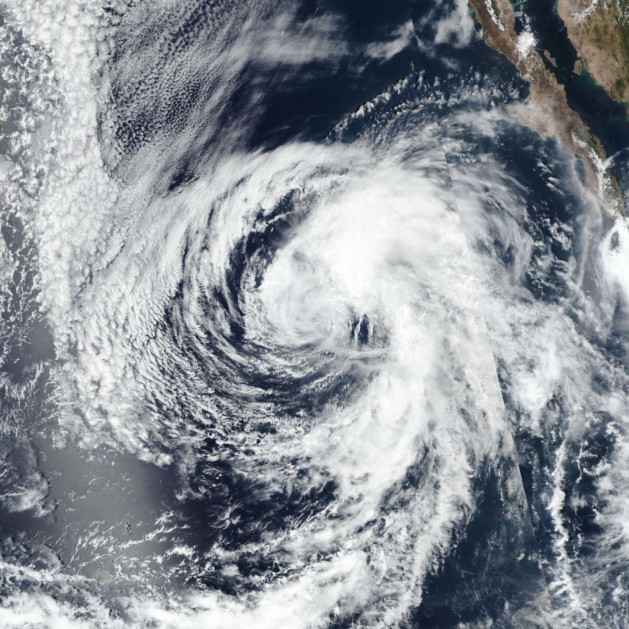
Tropical Storm Iselle

Live tracking map, satellite, radar, and forecasts of Tropical Storm Iselle 2026 in the eastern Pacific Ocean. Current wind speed 60mph. Max 70mph.

The structure of Iselle has significantly degraded during the past several hours, with the low-level circulation further detaching from the mid-level center located well to the northeast. This change has caused any deep convection to be located well away from the center near the old mid-level center and is representative of a weakening cyclone. A recent ASCAT scatterometer pass showed peak winds of about 50 mph (45 knots), so the initial intensity is set to 60 mph (50 knots), consistent with the low bias of the instrument.

Further weakening is anticipated due to continued shear, progressively cooler water and dry air entrainment near the core of the cyclone. Perhaps because of the poor initial structure, Iselle isn't expected to be a particularly resilient cyclone, and no model shows organized deep convection beyond 36 hours. The new NHC intensity forecast is lower than the last one, keeping the same general rate of weakening, but it shows a much earlier transition into a remnant low.

Satellite fixes show that the storm continues to move to the west-northwest, and little change in track is anticipated for the next couple of days due to ridging extending from the southern United States. As the storm weakens, it should turn more westward by Thursday due to the cyclone becoming steered more by the low-level flow. The guidance is shifting southward, consistent with a decaying system, so the new forecast is shifted equatorward, closest to the Google DeepMind ensemble mean.