Hurricane Isaias 2026
Last Modified:
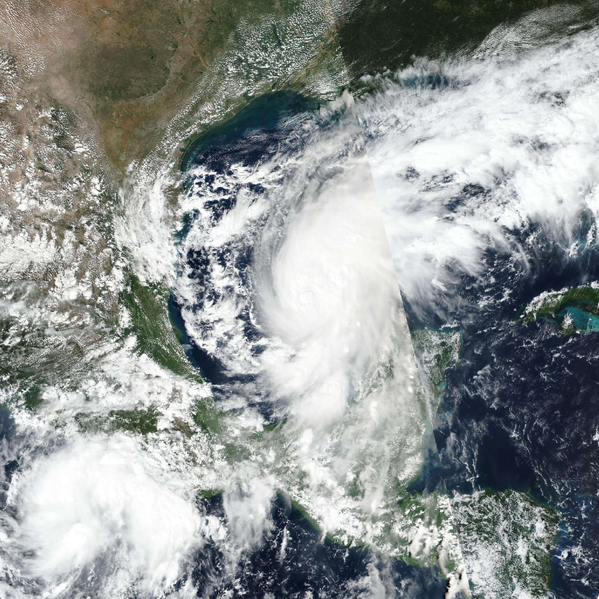
Live tracking map, satellite, radar, and forecasts of Hurricane Isaias 2026 north of the Yucatán Peninsula. Current wind speed 100mph. Max 110mph.
At 7:00 PM CDT (00:00 UTC), the center of Hurricane Isaias was located near latitude 24.9 North, longitude 88.8 West. Isaias is moving toward the northeast near 13 mph (20 km/h). A turn toward the north is expected on Friday. On the forecast track, Isaias is expected to approach the U.S. northern Gulf Coast on Friday and make landfall within the warning area late Friday or early Saturday.
Maximum sustained winds are near 100 mph (155 km/h) with higher gusts. Additional strengthening is expected through early Friday. Isaias should remain a dangerous hurricane as it approaches the northern Gulf Coast Friday night.
Hurricane-force winds extend outward up to 15 miles (30 km) from the center and tropical-storm-force winds extend outward up to 125 miles (205 km). NOAA buoy 42001 in the central Gulf recently reported sustained winds of 38 mph (61 km/h) and a gust of 42 mph (68 km/h).
The estimated minimum central pressure is 974 mb (28.77 inches).