Tropical Storm In-fa 2026
Last Modified:
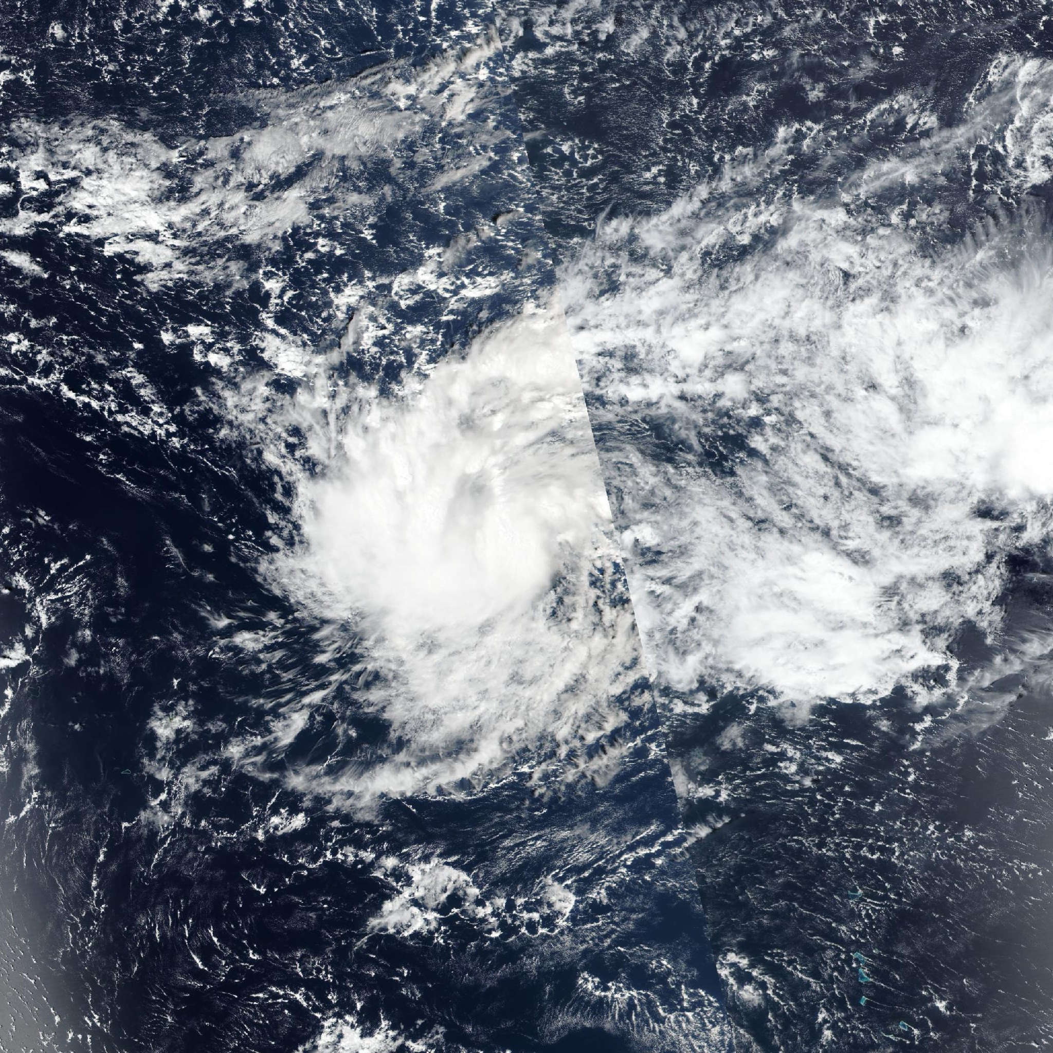
Live tracking map, satellite, radar, and forecasts of Tropical Storm In-fa 2026 (台風31号) in the western Pacific Ocean. Current wind speed 95km/h. Max 230km/h.
In-fa is located 278 km northwest of Kwajalein, and has tracked southwestward at 6 km/h (3 knots) over the past 6 hours. Minimum central pressure at 24/06:00 UTC is 994 hPa. Maximum significant wave height is 4.9 meters (16 feet).