Hurricane Fausto 2026
Last Modified:
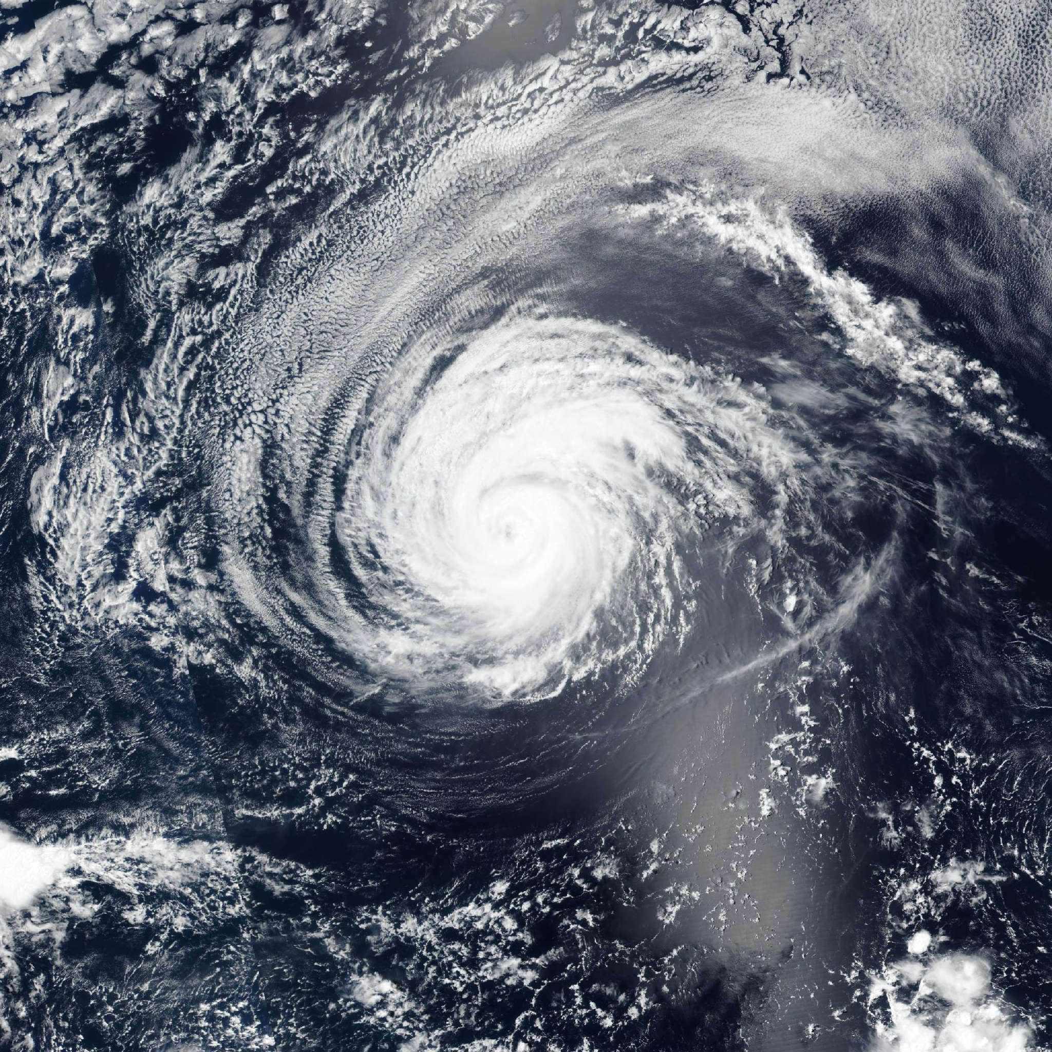
Live tracking map, satellite, radar, and forecasts of Hurricane Fausto 2026 in the eastern Pacific Ocean. Current wind speed 75mph. Max 105mph.
Somewhat surprisingly, the core of Fausto has lost organization during the past several hours. The central convection has become disorganized in conventional satellite imagery, and a 09:13 UTC AMSR overpass indicated that the low-level center had become partly exposed to the north of the convection. This is likely due to a resurgence in the northerly vertical shear that has been present for the last several days. The satellite intensity estimates have decreased since the last advisory, and based on these the initial intensity is reduced to 75 mph (65 knots).
The initial motion is now estimated to be 305/10 knots. The track guidance forecasts a turn toward the west-northwest in the next 12 hours or so as the subtropical ridge to the northeast of the cyclone builds westward. A general west-northwestward to westward motion is then expected for the rest of the forecast period. The track guidance remains tightly clustered through about 72 hours. Thereafter, there remains an increase in the north-south spread between the GFS on the north side of the guidance envelope and the ECMWF and Google DeepMind on the south side of the guidance envelope. The new forecast track has minor adjustments from the previous track, is similar to the previous forecast at 120 hours, and lies just a little to the north of center of the guidance envelope.
The models continue to forecast that Fausto will reach a light-shear environment in the next 12–24 hours. However, the cyclone is moving over slightly cooler sea surface temperatures, and as a result the intensity guidance is showing less strengthening during the first 36–48 hours than previously. It should also be noted that the shear has been a bit stronger than forecast all through the life of Fausto. With that being said, the intensity forecast will follow the guidance in showing a resumed strengthening later today (21 July) and a peak intensity in 36–60 hours. Beyond that time, a gradual weakening trend is expected as the cyclone moves over progressively cooler waters and into a drier, more stable environment. The new forecast is nudged downward from the previous forecast for the first 48 hours and changed little thereafter.