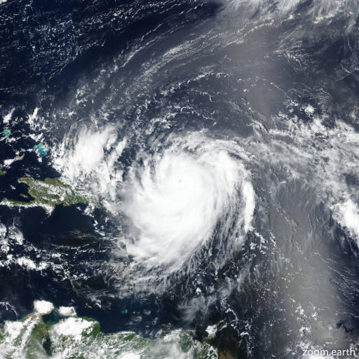
Tropical Storm Erin 2025
Last Modified:

Live tracking map, satellite images and forecasts of Tropical Storm Erin 2025 west of the Cabo Verde Islands. Current wind speed 45mph. Max 115mph.
It is still too early to determine what impacts, if any, Erin may bring to the northern Leeward Islands, Bermuda, or the east coast of the United States. As we approach the climatological peak of the hurricane season, it is an opportune time to ensure your preparedness plans are in place.
Erin's structure this afternoon (11 August) looks like a tropical cyclone that is struggling with the nearby thermodynamic environment, with only a small patch of deep convection pulsing near the estimated center. It is possible some dry air may have been entrained into the small circulation earlier today (11 August), causing its degraded appearance. For now, subjective and objective intensity estimates haven't changed much from the prior advisory, hovering in the 35–42 knots range, so the initial intensity is held at 45 mph (40 knots) this advisory.
Erin is still moving quickly off to the west, with the latest estimated motion at 270/18 knots. This general motion with a gradual slowdown in forward speed is expected over the next 48–72 hours as the system remains steered by a prominent mid-level ridge to its north. This ridge is forecast to move along with the storm. Towards the end of the forecast period, the ridge should erode some and shift northeastward of Erin, which should allow the cyclone to begin gaining latitude by 120 hours. The deterministic track guidance generally agrees on this track evolution, and was only a little faster than the prior cycle. The NHC track forecast is quite similar to the previous one, and lies closest to a blend of the latest 12z GFS and ECMWF forecasts (GFEX). However, it should be noted that spread in the ensemble solutions starts to increase substantially by the end of the forecast period, likely related to the magnitude of ridging that remains poleward of Erin in five days.
As mentioned in the prior advisory, while vertical wind shear over Erin is forecast to remain low for the next 3–4 days, the thermodynamic environment is less favorable in the short-term, with sea-surface temperatures between 26–27°C, and plenty of stable stratocumulus clouds along the forecast path of the storm. Nonetheless, most of the hurricane-regional models show Erin slowly intensifying during this period. As the storm moves into warmer sea-surface temperatures after 48 hours, a faster rate of intensification is anticipated, as long as the shear remains low and if Eric is able to mix out some of the dry air in its vicinity. The intensity guidance is actually a little higher than the previous cycle beyond 60 hours, but the latest NHC intensity forecast is similar to the prior one, showing Erin becoming a hurricane in 60 hours and a major hurricane in 120 hours. This forecast is now a little lower than HAFS-A/B, HMON, and HWRF at the end of the forecast. There are some indications there might some northwesterly shear impinging on the cyclone in 96–120 hours, so I elected to stay under these aids for this cycle.