Measure Distance

Measure Area

Click on the map to add points. Double‑click to finish.

Tap on the map to add points.

Tropical Storm Dikeledi 2025

Last Modified:

Tropical Storm Dikeledi

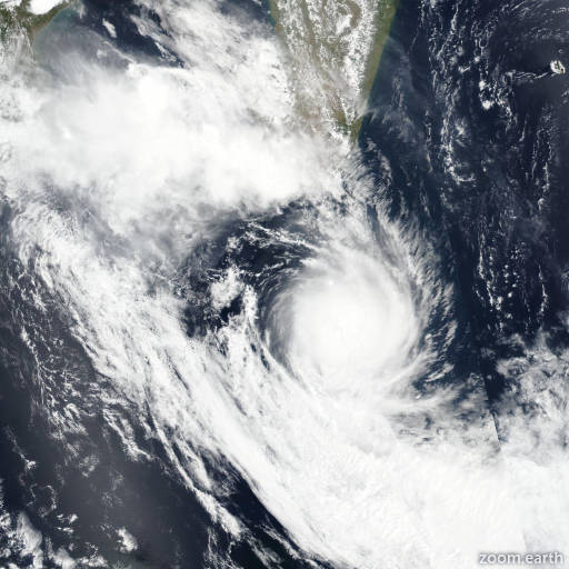
Live tracking map, satellite images and forecasts of Tropical Storm Dikeledi 2025 southwest of Madagascar. Current wind speed 130km/h. Max 155km/h.

Dikeledi is located 107 km east-northeast of Europa Island, and has tracked south-southeastward at 28 km/h (15 knots) over the past 6 hours. Maximum significant wave height is 10.7 meters (35 feet).

Dikeledi will accelerate southeastward then eastward on the poleward side of the subtropical ridge.

The favorable environment, enhanced later by increasing poleward outflow will promote further intensification to a peak of 140 km/h (75 knots) between 12 and 24 hours. Afterward, increasing wind shear and cooling sea surface temperatures will begin to erode the system as it enters the baroclinic zone, reducing it to 95 km/h (50 knots) in 3 days. Concurrently in 2 days, Dikeledi will commence extratropical transition (ETT) and in 3 days, will transform into a strong gale-fore cold core low.

Forecast models are in very tight agreement with a gradual and even spread to a mere 215 km in 3 days, lending high confidence to the JTWC track forecast.

Due to uncertainties associated with ETT, there is only medium confidence to the intensity forecast.