Tropical Storm Carlos 2021

Last Modified:
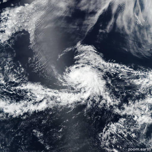
Satellite images, weather maps and tracks of Tropical Storm Carlos 2021, June 3 - 17. Max wind speed 50mph.

Shortwave infrared satellite imagery suggests that Carlos's center has become less defined since last evening's scatterometer passes, and the overall circulation is losing definition as it becomes embedded within the Intertropical Convergence Zone (ITCZ). Despite the few sporadic bursts of convection that have been occurring, the system has been unable to generate persistent organized deep convection near its center for quite some time, and Carlos is therefore being designated as a remnant low with maximum winds of 30 mph (25 knots). Moderate westerly shear and ingestion of drier air should cause the remnant low to weaken further, and likely dissipate within the ITCZ in 2 to 3 days.

Geostationary and microwave imagery indicates that Carlos has sunk a little farther south than previously estimated, and its 12-hour heading has been toward the west-southwest (240/6 knots). The bulk of the track models show that the remnant low should resume a westward motion later today (June 16) and then maintain a steady west to west-northwest heading through Friday, steered by the low-level trade winds. The new NHC official track forecast is a blend of the previous forecast and the GFS-ECMWF consensus, and due to the southward-adjusted initial position, is about a half a degree south of the previous forecast.

This is the last advisory on Carlos. For additional information on the remnant low please see High Seas Forecasts issued by the National Weather Service, under AWIPS header NFDHSFEPI, WMO header FZPN02 KWBC, and on the web at https://ocean.weather.gov/shtml/NFDHSFEPI.php

Forecaster Berg. Information provided by the National Hurricane Center (NHC).