Tropical Storm Bertha 2020
Last Modified:
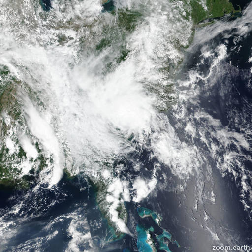
Satellite images, weather maps and tracks of Tropical Storm Bertha 2020, May 25 - 28. Max wind speed 50mph.
Bertha may produce life-threatening flash flooding across portions of northeastern South Carolina into west central to far southeast North Carolina and Southwest Virginia. Ongoing river flooding will be aggravated and recessions prolonged in the region.
Surface observations and WSR-88D radar data indicate that the center of Bertha continues to move farther inland across central and northern South Carolina. Based on surface observations, the maximum sustained winds have decreased to near 25 knots, with these winds mainly along the coastal areas to the east of the center. Additional weakening is expected as the system moves farther inland, with Bertha forecast to decay to a remnant low pressure area on Thursday, followed by dissipation on Thursday night.
The initial motion is 340/13. The cyclone is located between the subtropical ridge to the east and a large deep-layer low pressure area over the lower Mississippi River valley. These features should steer the system and its associated rainfall generally northward during the next day or so, followed by a turn toward the north-northeast before dissipation between 24-36 hours. The new forecast track is nudged a little to the west of the previous track based mainly on the initial location and motion.
This is the last advisory on Bertha issued by the National Hurricane Center. Future information on this system can be found in Public Advisories issued by the Weather Prediction Center beginning at 11 PM EDT, under AWIPS header TCPAT2, WMO header WTNT32 KWNH, and on the web at http://www.wpc.ncep.noaa.gov.
Information provided by NHC.