Tropical Storm Banyan (Queenie) 2022

Last Modified:
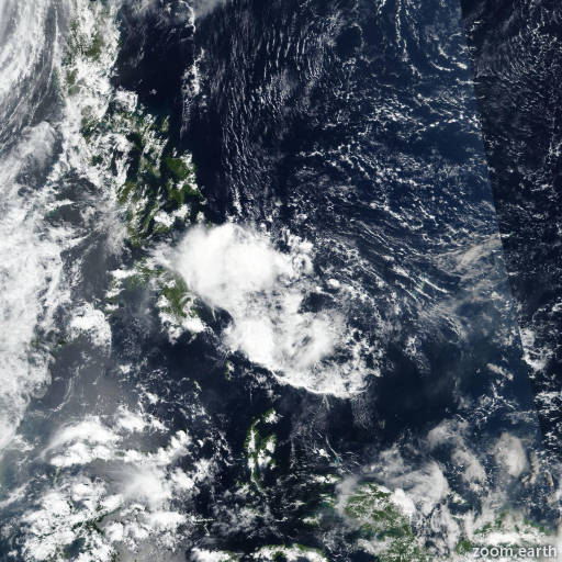
Satellite images, weather maps and tracks of Tropical Storm Banyan 2022, October 28 - November 1. Max wind speed 65km/h.

Banyan (Philippine name Queenie) is located 200 km north of Sonsorol, and has moved west-northwestward at 7 km/h (4 knots) over the past 6 hours.

After release of the original warning number five (wr 005), further satellite analysis revealed the surface circulation has been somewhat quasi-stationary over the past 12 hours and is located 202 km to the east as previously specified.

Strong upper-level wind flow has displaced the convection well off to the west as the system has become completely decoupled. Copious amounts of dry air from the north allowed for a better view of the lower levels over the past hour and this system is fully exposed with little-to-no chance of redevelopment.

Deterministic and ensemble model guidance agrees in further decay of Banyan. The system will be closely monitored for signs of regeneration.

Maximum significant wave height is 4 meters (13 feet).

Information provided by the Joint Typhoon Warning Center (JTWC).