Tropical Storm Agueda 2026-2027
Last Modified:
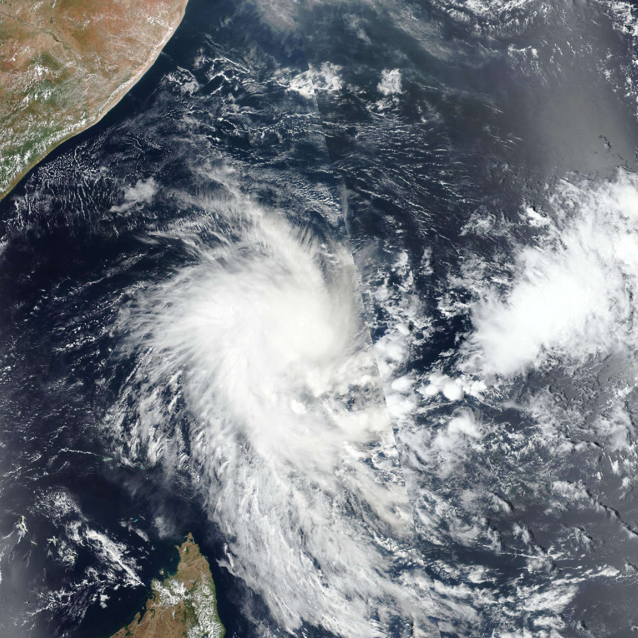
Live tracking map, satellite, radar, and forecasts of Tropical Storm Agueda 2026-2027 near the Seychelles. Current wind speed 85km/h. Max 95km/h.
Agueda is located 1435 km east of Dar es-Salaam, Tanzania, and has tracked southwestward at 7 km/h (4 knots) over the past 6 hours. Maximum significant wave height is 4.6 meters (15 feet).
Agueda is moving southwestward along the western edge of a subtropical ridge to the east.
Over the next 24 hours, a subtropical ridge will build to the south of the system, turning Agueda westward. The westward motion will continue over the next 2 days. Thereafter, as the circulation becomes increasingly shallow, the system will turn slightly equatorward as it moves within the low-level southeasterly flow.
While conditions may support limited intensification over the next 24 hours, elevated wind shear and the tilted vortex will preclude significant development.
By around 24 hours, persistent mid-level shear will facilitate dry air entrainment from the west into the circulation. Therefore, the forecast continues to show a peak intensity of 95 km/h (50 knots) over the next 12 to 24 hours, followed by steady weakening.
The system will dissipate in around 3 days. Substantial spread exists among the track guidance, with dynamical models predicting that Agueda will move farther poleward prior to turning westward.
The JTWC forecast track has been shifted slightly northward and is positioned with medium confidence on the poleward side of the AI-model mean, while Google DeepMind lies equatorward of the forecast track.
The overall intensity guidance suite has trended weaker, with most models depicting near-steady intensity over the next 24 hours, followed by weakening.
Given recent satellite imagery indicating a tightening system, the JTWC intensity forecast is set on the higher end of the guidance envelope over the next 24 hours and converges toward the weaker COAMPS-TC and GFS solutions thereafter.