Typhoon Choi-wan 2026
Last Modified:
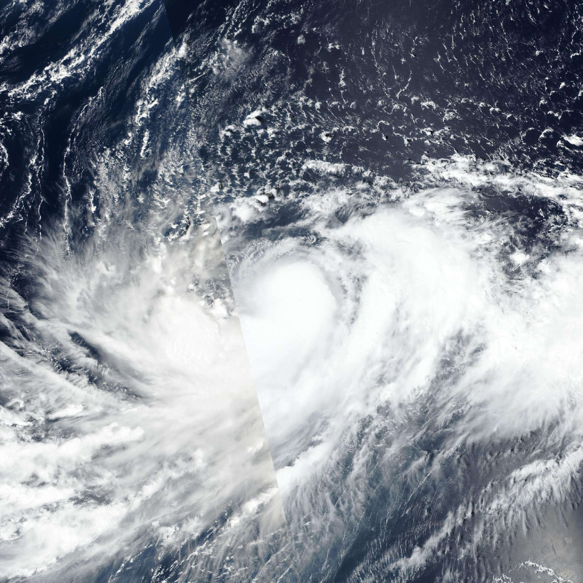
Live tracking map, satellite, radar, and forecasts of Typhoon Choi-wan 2026 (台風27号) near the Northern Mariana Islands. Current wind speed 140km/h. Max 205km/h.
Choi-wan is located 343 km north-northwest of Saipan, and has tracked northward at 9 km/h (5 knots) over the past 6 hours. Maximum significant wave height is 8.8 meters (29 feet).
Choi-wan is forecast to continue north-northeastward out over the next 36 hours under the primary influence of the near-equatorial ridge centered to the southeast as the passage of a shortwave trough to the north is currently weakening the western edge of a subtropical ridge centered to the northeast.
In 36 hours, the subtropical ridge is expected to reorient and become the primary steering influence, causing a slight north-northwestward track until the next 3 days, at which point Choi-wan will round the subtropical ridge axis and accelerate northeastward for the remainder of the forecast period. Extratropical transition (ETT) is expected to begin in 4 days and complete in 5 days as Choi-wan crosses the 26°C isotherm and begins interacting with the upper-level westerlies.
Regarding intensity, Choi-wan is expected to intensify out to a peak of 205 km/h (110 knots) in 36 to 48 hours, with rapid intensification (RI) out over the next 12 hours as Choi-wan remains in a highly favorable environment of high ocean heat content, strong poleward and equatorward outflow aloft, and low wind shear.
After 2 days, a general weakening trend is forecast for the remainder of the forecast period as ocean heat content values decline and wind shear and resultant dry air entrainment become increasingly hostile as Choi-wan approaches the strong upper-level westerlies and begins ETT.
The wind field is expected to remain expansive at this point of transition. Model track guidance has come into better agreement with the exception of the GFS and GEFS mean lag behind in track speed in comparison to the remainder of physics and AI based guidance out over the next 4 days.
In 4 to 5 days, guidance disagrees greatly on the track speed of Choi-wan as it completes ETT, with an along-track spread of 1204 km and no clear distinction between AI and physics-based models as ECMWF and JGSM outpace the AI GFS, AI GFS ensemble, and experimental WindBorne weather mesh ensemble, but remain slower than the Google DeepMind solution.
The official JTWC forecast track is thus laid with high confidence out over the next 3 days, in good agreement between the multi-model and AI consensus, and with low confidence thereafter due to the spread in track speed.
Intensity guidance continues to agree on an intensification out over the next 2 days followed by a gradual weakening, but there remains a spread of 85 km/h (45 knots) at this point between the lowest outlier of GFS-derived COAMPS-TC and the RI aid DTOP, which predicts supertyphoon intensity at this point.
The official JTWC intensity forecast is assessed with medium confidence out over the next 3 days, in good agreement with the multi-model consensus and Google DeepMind, with some uncertainty remaining in the ultimate peak Choi-wan will reach as it undergoes RI.
Past the next 3 days, the intensity forecast is assessed with low confidence, below the multi-model consensus due to higher uncertainty regarding the effect of ETT on the rate of weakening.