Tropical Storm Chris 2024
Last Modified:
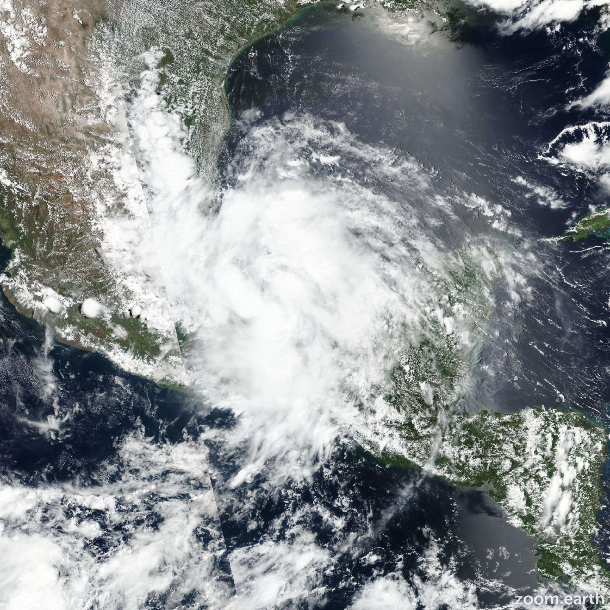
Live tracking map, satellite images and forecasts of Tropical Storm Chris 2024 over central Mexico. Current wind speed 40mph.
Heavy rainfall will result in areas of flooding across portions of eastern Mexico this morning (July 1), with mudslides possible in areas of higher terrain.
Tropical-storm-force winds are expected for the next few hours in the tropical storm warnings area in Mexico.
Around 04:50 UTC, Chris is estimated to have made landfall near Lechuguillas in the Mexican state of Veracruz. Since then, satellite infrared imagery showed an increase in the thunderstorm activity in the eastern portion of the circulation, near the region of the radius of maximum wind which is still over the Bay of Campeche. Therefore, the initial intensity is held at 40 mph (35 knots) for this advisory. Chris should weaken quickly throughout the day as the system moves just north of west at an estimated 280/10 knots inland over eastern Mexico. Simulated satellite data from global models suggest Chris will dissipate over the higher terrain later today (July 1) and the official forecast now shows dissipation occuring by 12 hours, if not sooner.