Tropical Storm 02S 2025-2026
Last Modified:
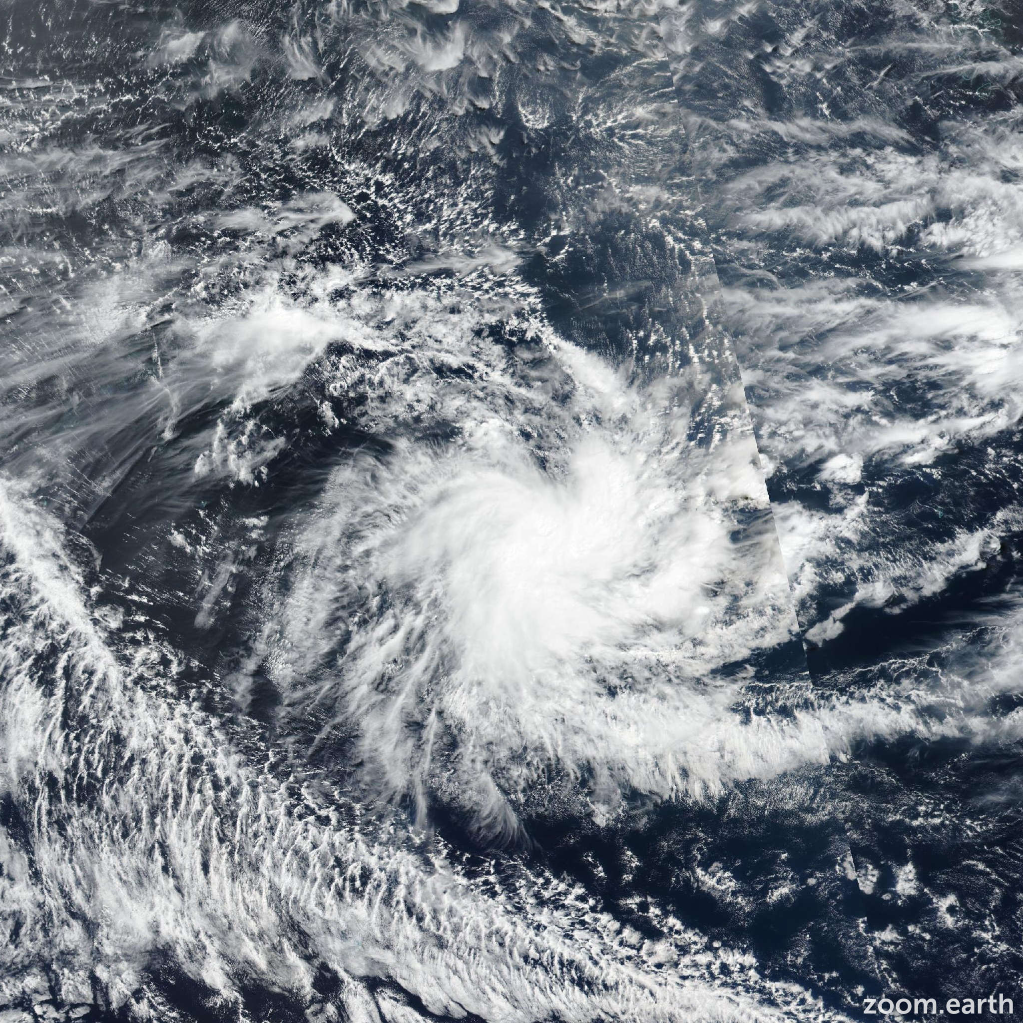
Live tracking map, satellite images and forecasts of Tropical Storm 02S 2025-2026 in the southwest Indian Ocean. Current wind speed 65km/h.
02S is located 1169 km west of Diego Garcia, and has tracked westward at 11 km/h (6 knots) over the past 6 hours. Maximum significant wave height is 4.9 meters (16 feet).
02S is forecast to continue tracking westward, along the northern edge of the subtropical ridge throughout the forecast period.
Regarding intensity, 02S is forecast to maintain intensity over the next 24 hours as the core of the vortex fights off dry air being pulled in from the north.
After 24 hours, dry air entrainment will increase significantly, leading to the dissipation of the system in around 36 hours. Model guidance is in moderate agreement with a 296 km cross-track spread at 36 hours.
Intensity guidance overall agrees on a steady intensity over the next 24 hours before weakening.
The JTWC track and intensity forecast are both placed with medium confidence, close to the multi-model consensus.