Tropical Storm Ivo 2025
Last Modified:
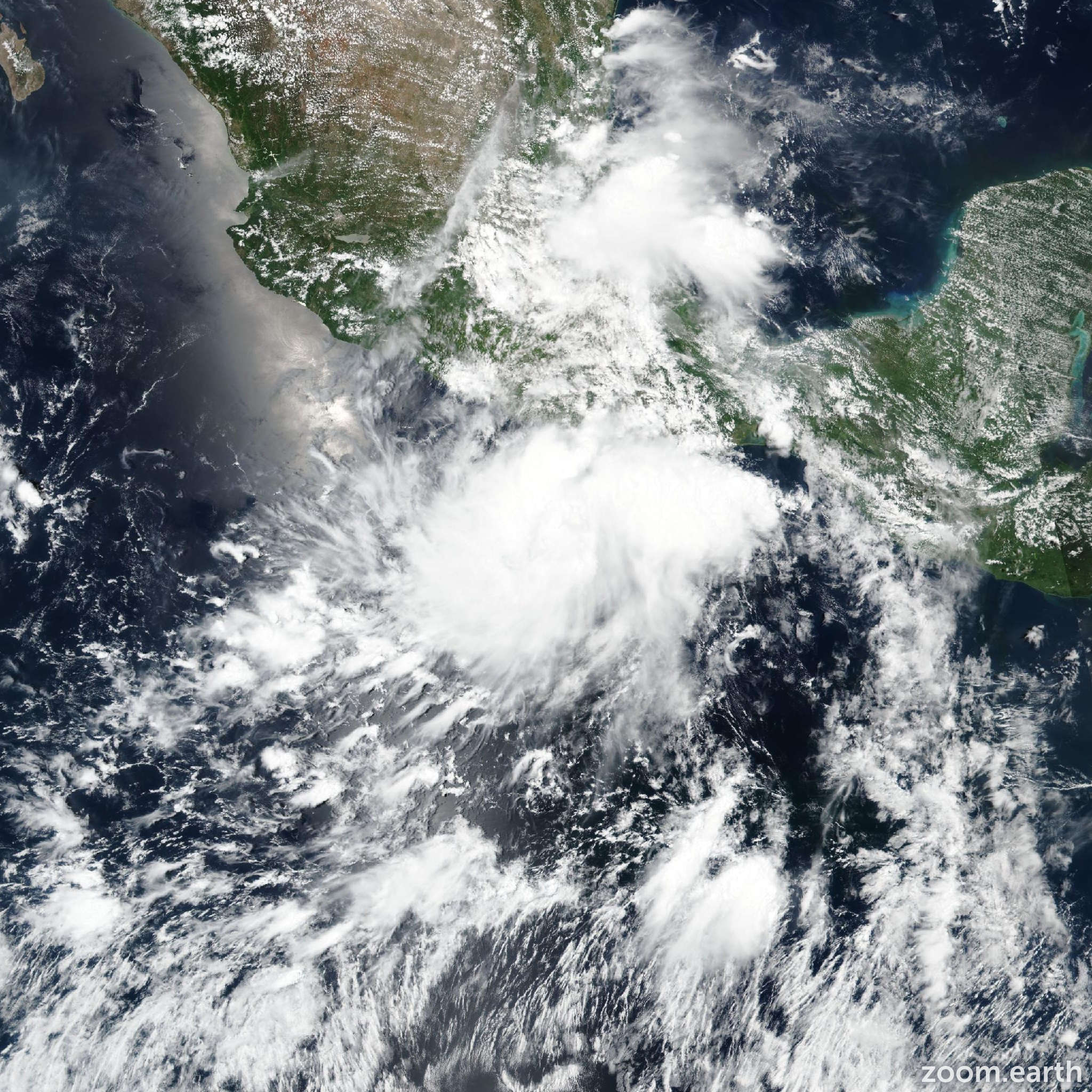
Live tracking map, satellite images and forecasts of Tropical Storm Ivo 2025 near Guerrero, Mexico. Current wind speed 40mph. Max 80mph.
Ivo's cloud pattern is gradually becoming better organized but the convective banding features are not yet well defined. Very cold cloud tops to -70°C or colder are evident, primarily over the northern portion of the circulation. The upper-level outflow pattern is fairly well defined over the system, but outflow is restricted over the northeastern quadrant. The current intensity estimate is kept at 40 mph (35 knots) for now, in agreement with a subjective Dvorak classification from TAFB and most objective estimates from UW-CIMSS.
Blending center fixes from SAB and TAFB give a swift west-northwestward motion of around 295/19 knots, as in the previous advisory. There is a strong 500 mb high situated to the north of Ivo, which is predicted to remain in place for the next couple of days. This should keep the tropical cyclone on a west-northwestward track, parallel to, but offshore of, the coast of southwestern Mexico. Beyond 24–36 hours, Ivo should turn a bit to the left with decreasing forward speed while moving away from Mexico. The official track forecast is very similar to the previous one and close to the dynamical model consensus.
For the next couple of days, Ivo should be in an environment of moderate vertical shear, fairly warm waters and high low- to mid-level humidity. Therefore strengthening is likely and the system is predicted to become a hurricane by late this week. Later in the forecast period, the system should be traversing cooler waters which is likely to reduce the cyclone to a remnant low in 5 days. The official intensity forecast is at the high end of the model guidance.
The tropical-storm-force winds associated with Ivo are expected to remain offshore of the coast of Mexico, however heavy rain and rough surf are likely along portions of the southwest coast of Mexico during the next day or two.