Tropical Depression 32W 2025
Last Modified:
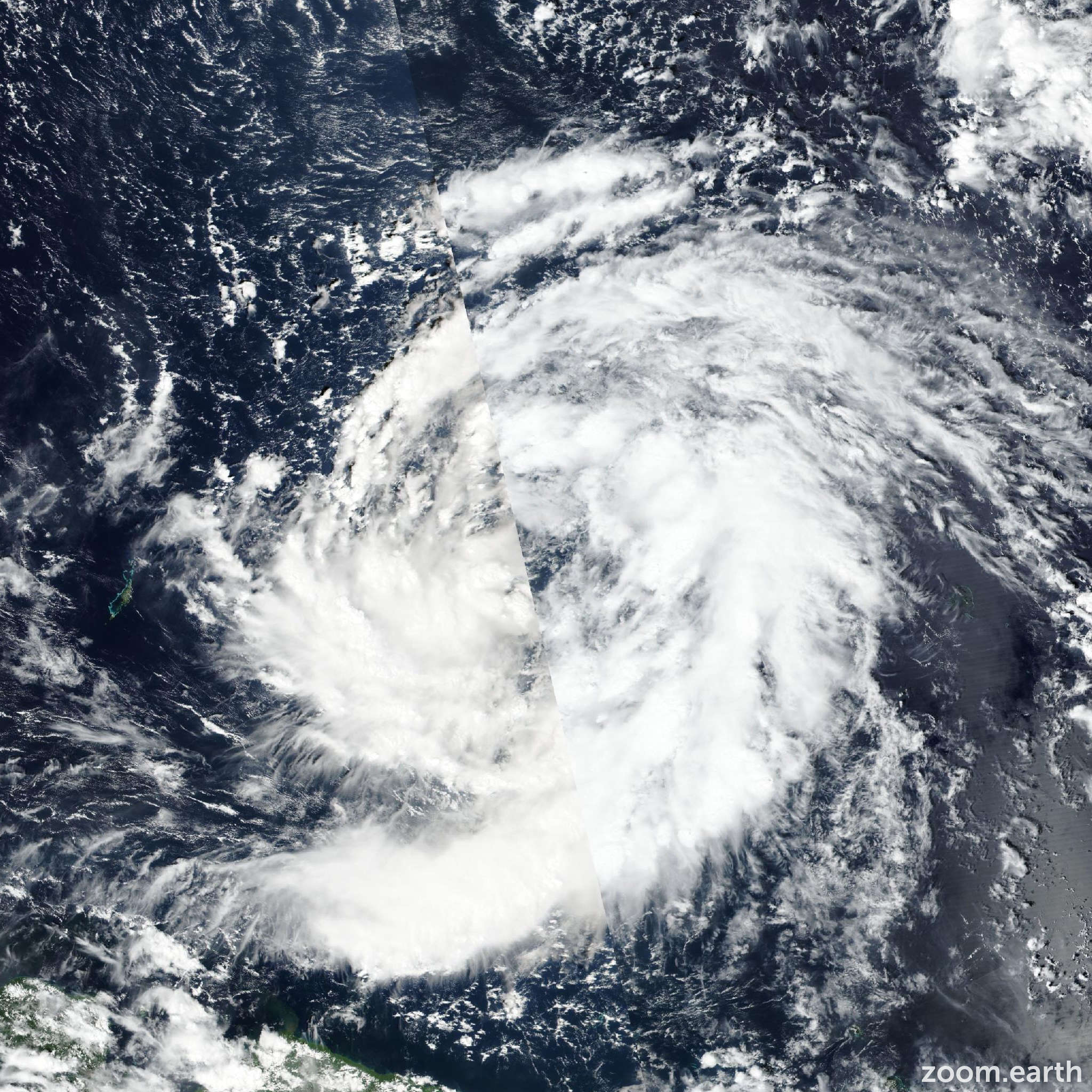
Live tracking map, satellite, radar, and forecasts of Tropical Depression 32W 2025 south of Guam in the western Pacific Ocean. Current wind speed 55km/h. Max 205km/h.
32W is located 204 km northwest of woleai, and has tracked westward at 13 km/h (7 knots) over the past 6 hours. Maximum significant wave height is 3.7 meters (12 feet).
32W will continue to slowly organize over the next 12 hours before transiting further northwest under the influence of the subtropical ridge to the north.
Conditions remain favorable for considerable development as the circulation approaches the eastern coast of the Philippines. The forecasted environmental conditions are characterized by warm sea surface temperatures and low wind shear magnitudes.
Maximum intensities of 205 km/h (110 knots) are expected over the Philippine Sea in around 3 days. Afterwards relatively drier air and slightly higher wind shear will lead to beginning of a weakening trend as the center passes over Luzon in 3 to 5 days.
Weakening will progress quickly, while the system transits over land, resulting in expected intensity of 120 km/h (65 knots). Model guidance is fairly spread with NAVGEM depicting a more northwestward track and COAMPS-TC pushing the system further south over Luzon.
Cross track spread is over 370 km for a majority of the forecast period, but all models agree on a general northwestward trajectory.
The JTWC forecasted track is placed just south of the multi-model consensus with medium confidence. Intensity guidance is in fair agreement with a spread of 45 km/h (25 knots).
The JTWC forecast is placed close to the multi-model consensus with medium confidence.