Tropical Storm Fernand 2025
Last Modified:
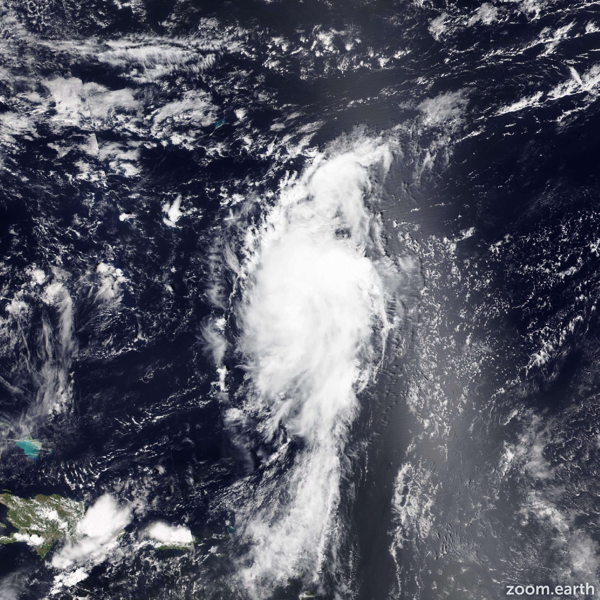
Live tracking map, satellite images and forecasts of Tropical Storm Fernand 2025 near Bermuda. Current wind speed 40mph. Max 60mph.
Fernand has become a bit better organized during the past few hours. Convection has reformed with a banding pattern around the center, with some expanding outflow. Satellite intensity estimates are about the same as before, so the initial intensity will remain 40 mph (35 knots), though some of the objective estimates have recently increased.
The storm has been moving through an environment that is somewhat drier with more shear than anticipated. Consequently, Fernand has changed little overnight. The environment still should support some gradual strengthening, which is the general idea of the model guidance. The new NHC forecast is about the same as the last one, with a similar peak occuring on Monday, perhaps a bit sooner than earlier thinking. Decreasing sea surface temperatures and increasing shear should cause weakening later on Tuesday, with extratropical transition anticipated early Wednesday and a quick dissipation on Thursday.
The initial motion is 020/13 knots. Fernand is forecast to move on this general course for the next couple of days around the northwestern edge of the subtropical ridge. The storm will likely be embedded in the mid-latitude flow by late Tuesday, causing a faster track to the northeast. While the model guidance remains in good agreement, guidance has been shifting eastward to time, which the Google Deep Mind (GDMI) model first sniffed out yesterday (23 August). The new NHC forecast is on the eastern side of the guidance envelope and is east of the previous official forecast.