Measure Distance

Measure Area

Click on the map to add points. Double‑click to finish.

Tap on the map to add points.

Tropical Depression 32W 2025

Last Modified:

Tropical Depression 32W

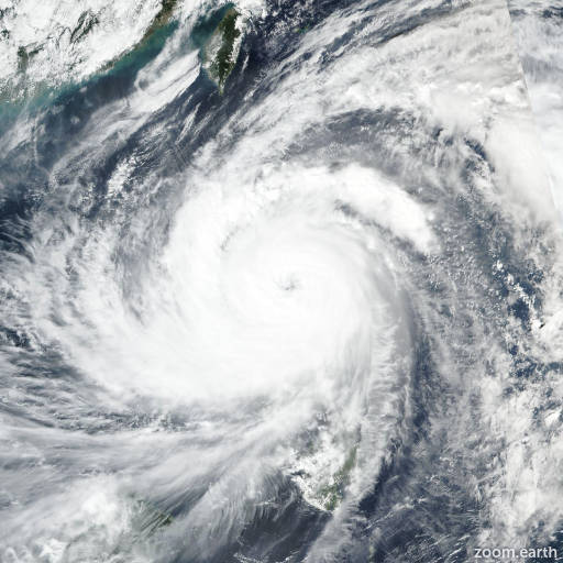
Live tracking map, satellite, radar, and forecasts of Tropical Depression 32W 2025 south of Guam in the western Pacific Ocean. Current wind speed 55km/h. Max 215km/h.

32W is located 143 km west of faraulep, and has tracked north-northwestward at 7 km/h (4 knots) over the past 6 hours. Maximum significant wave height is 3.7 meters (12 feet).

32W will get a slow start off to the northwest as the system continues to organize itself while being steered by the subtropical ridge to the north.

Conditions are prime for the circulation to undergo a significant amount of strengthening as it approaches the coast of the Philippines with warm sea surface temperatures and little change expected to wind shear magnitudes.

Maximum intensities of around 215 km/h (115 knots) are forecast just prior to landfall in 4 to 5 days. Slight weakening is expected afterwards due to interaction with the Philippine landmass before the system makes its way out over the South China Sea.

Model guidance is fairly spread with a 185 km cross-track spread at 36 hours. ECMWF favors further movement to the north-northwestward while GFS pushes the system more westward toward the Philippines.

The JTWC forecasted track lies close to the multi-model consensus with medium confidence. Intensity spread is also relatively high among the models with HAFS-A and COAMPS-TC depicting max intensities of 120+ knots while GFS continues to reflect a max intensity of 185 km/h (100 knots).

The JTWC forecasted intensity lies slightly above the multi-model consensus accounting for the significant amount of time the system will remain in a favorable environment and is assessed with medium confidence.