Tropical Depression 29W 2026
Last Modified:
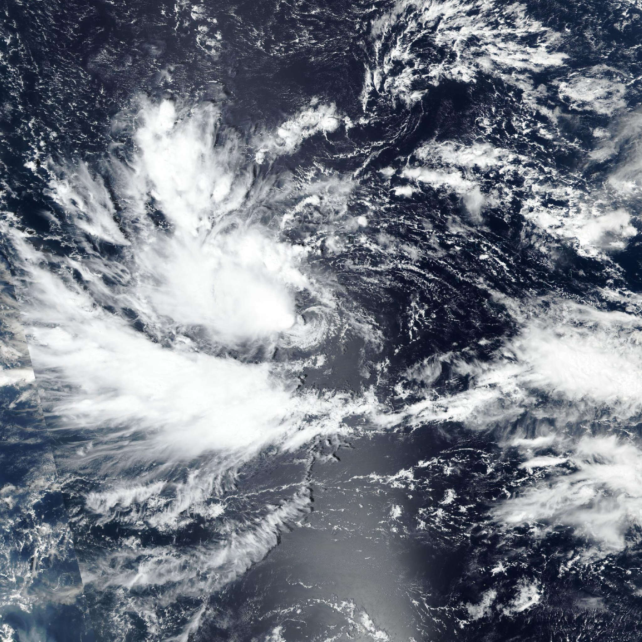
Live tracking map, satellite, radar, and forecasts of Tropical Depression 29W 2026 in the western Pacific Ocean. Current wind speed 55km/h. Max 230km/h.
29W is located 1759 km east of Naval Base Guam, and has tracked northwestward at 20 km/h (11 knots) over the past 6 hours. Maximum significant wave height is 3.7 meters (12 feet).
29W recently concluded its looping motion and has tracked north-northwestward for the past several hours.
The storm is forecast to continue its north-northwestward track briefly over the next 12 hours. After 12 hours, 29W is expected to assume a steady northwestward track for the remainder of the forecast period, while it remains under the steering influence of the expansive subtropical ridge centered far to the north.
29W is forecast to maintain a very consistent forward motion over the next 5 days, sustaining a track speed of 25 km/h (13 knots) in 12 hours to 3 days, before slowing slightly to 20 km/h (12 knots) in 3 to 5 days.
Regarding intensity, 29W is forecast to gradually intensify over the next 24 hours while the system continues to consolidate and organize. Following the next 24 hours, the environment is expected to become more favorable, with wind shear expected to drop to 10–20 km/h (5–10 knots) and the dry air beginning to reduce. In response to the improved conditions, 29W is forecast to steadily intensify in 24 to 60 hours.
By around 60 hours, the environment is expected to become highly favorable, with the dry air eliminated and the system now strong enough to easily resist the persistent 20–30 km/h (10–15 knots) of wind shear. Additionally, the equatorward and westward outflow is expected to strengthen in around 36 hours and remain robust over the next 5 days, further aiding in intensification. Therefore, 29W is forecast to undergo a period of rapid intensification (RI) in 60 hours to 4 days.
Just after 3 days, 29W is expected to pass just off the northern coast of Guam, bringing elevated winds to the Northern Marianas islands.
29W is expected to peak at 5 days, with additional intensification possible outside the forecast period. Deterministic model track guidance is in good agreement through the duration of the forecast period, though a few outliers are present: NAVGEM, GEFS, ECMWF, and ECENS.
Discounting those members, the bulk of the model guidance is in tight agreement with a 139 km cross-track spread at the closest point of approach to the Northern Marianas (just after 3 days).
The JTWC track forecast is hedged slightly south of the multi-model consensus and closer to Guam, in response to the most reliable model solutions depicting a track close to the northern coast of Guam.
There is a moderate amount of along-tack spread caused by the same group of model outliers as mentioned earlier (with the exception of NAVGEM and including GSM). As a result, the JTWC is hedged slightly faster then the multi-model consensus, close to the most reliable model solutions.
Overall, the JTWC track forecast lies in strong agreement with UKMET, GALWEM, and the following experimental al models: Google DeepMind, aigefs, aigfs, AIFS; with overall high confidence.
Reliable intensity aids are in strong agreement from today until the next 36 hours, depicting a gradual intensification as the system consolidates, and strongly supporting the JTWC intensity forecast during that time.
Over the next 36 hours, guidance diverges, with Google DeepMind indicating RI beginning as soon as the next 36 hours, and HAFS-A indicating RI as late as the next 3 days.
The timing of the RI period is uncertain and solely depends on how 29W is able to consolidate and vertically align itself. As a result, the JTWC intensity forecast is assessed with medium confidence over the next 3 days and low confidence in 3 to 5 days.
The JTWC intensity forecast is aligned closely with COAMPS-TC and HWRF over the next 2 days, then hedged between HWRF and HAFS-A in 60 hours to 5 days.