Tropical Depression 28W 2026
Last Modified:
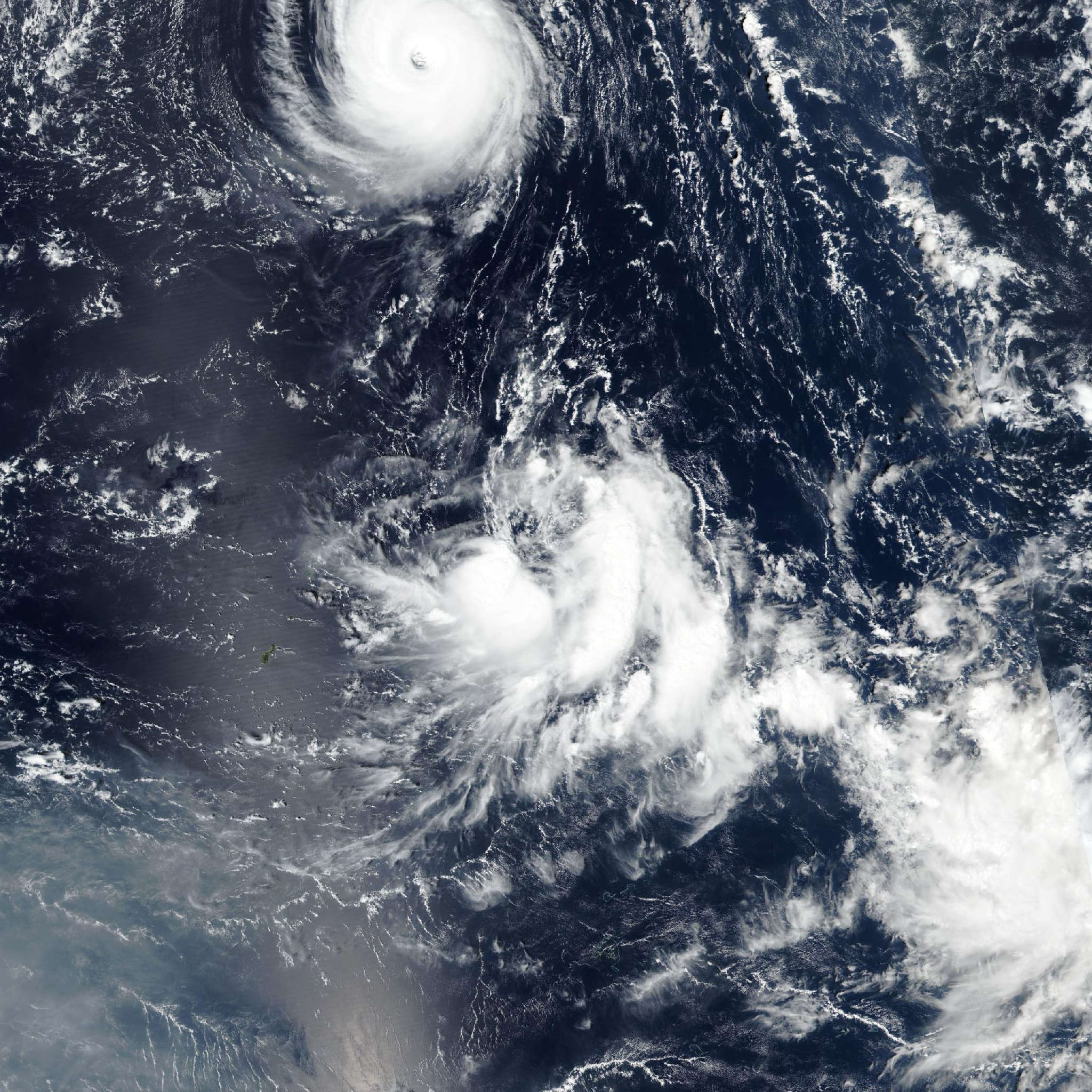
Live tracking map, satellite, radar, and forecasts of Tropical Depression 28W 2026 in the western Pacific Ocean. Current wind speed 45km/h.
28W is located 628 km northeast of Andersen Air Force Base, and has tracked northwestward at 13 km/h (7 knots) over the past 6 hours. Maximum significant wave height is 3 meters (10 feet).
28W will continue to track northwestward along the southwestern edge of a low- to mid-level subtropical ridge positioned to the northeast over the next 2 days.
The northern edge of the aforementioned TUTT will move over the system in 12 hours, then shift west of the system in 24 hours. The TUTT will induce northerly shear and suppress vertical motion over the next 24 hours. Concurrently, 28W will remain embedded in an area of extensive dry air. These factors will limit convective activity despite very warm sea surface temperatures.
After 24 hours, an upper-level ridge will build westward and shift the wind shear from northerly to southerly. The persistent shear and dry air throughout the forecast period will preclude significant intensification.
The forecast calls for 28W to degenerate into a trough in 2 days, although this could happen sooner. The track guidance envelope is relatively tight, measuring 176 km at 2 days, with the AI-GEFS ensemble mean bounding the equatorward side of the envelope and GFS on the poleward side.
Google DeepMind, ECMWF, and HAFS-A are tightly clustered near the multi-model consensus. The JTWC forecast track is very similar to the previous forecast and is placed along this core group of models with high confidence.
Greater spread exists among the intensity guidance. HAFS-A intensifies the system to 55 km/h (30 knots) and holds that intensity well beyond 2 days. DeepMind and GFS keep a steady intensity over the next 36 hours before weakening the system to 35 km/h (20 knots) in around 2 days.
The JTWC intensity forecast leans toward the weaker scenario with medium confidence.