Tropical Depression 28W 2026
Last Modified:
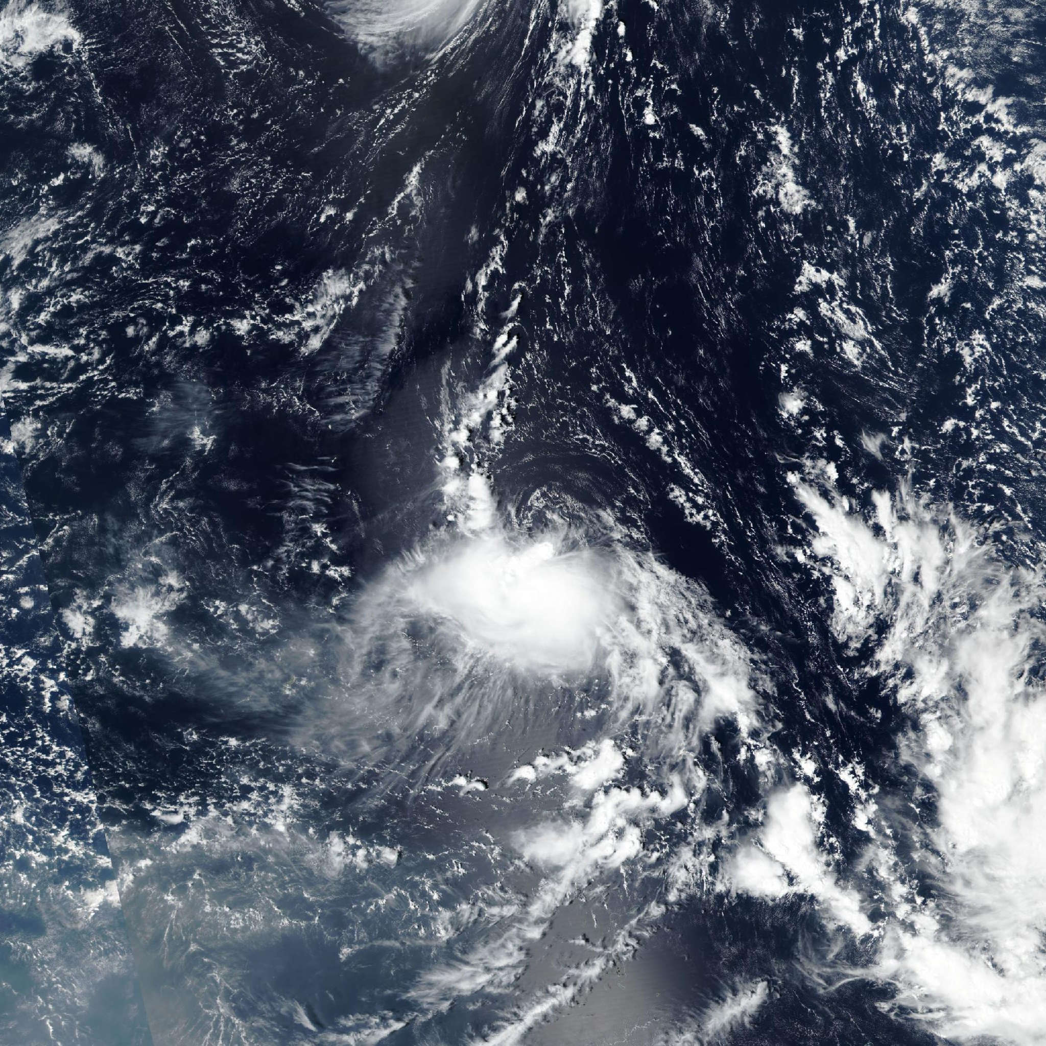
Live tracking map, satellite, radar, and forecasts of Tropical Depression 28W 2026 near the Northern Mariana Islands. Current wind speed 55km/h.
28W is located 361 km northeast of Saipan, and has tracked west-northwestward at 15 km/h (8 knots) over the past 6 hours. Maximum significant wave height is 3.4 meters (11 feet).
28W is forecast to track steadily northwestward for the remainder of the forecast period under the steering influence of the low-level southeasterly flow of the subtropical ridge centered to the northeast.
Regarding intensity, 28W is expected to maintain its current intensity in the short term before weakening and ultimately dissipating over water in 2 days as environmental conditions are not expected to improve to allow further consolidation or intensification. Furthermore, in 2 days 28W will encounter a shear line and further dry air, causing 28W to open into a trough.
Track model guidance is in good agreement, with GFS and GEFS being the quickest and most poleward solutions, resulting in an overall cross-track spread of 185 km and an along-track spread of 139 km in 2 days.
The official JTWC forecast track is thus placed with high confidence, in line with the multi-model consensus. Intensity guidance has come into better agreement, with the majority now depicting a plateau in intensity out over the next 12 hours followed by weakening thereafter, with the outliers of Decay-SHIPS (both GFS and NAVGEM based), which show further intensification.
The official JTWC forecast intensity is assessed with high confidence, below the multi-model consensus due to the disregarded SHIPS guidance, hedging towards the Google DeepMind, GFS, and HAFS-A solutions based on the aforementioned unfavorable environmental conditions.