Tropical Storm 18W 2026
Last Modified:
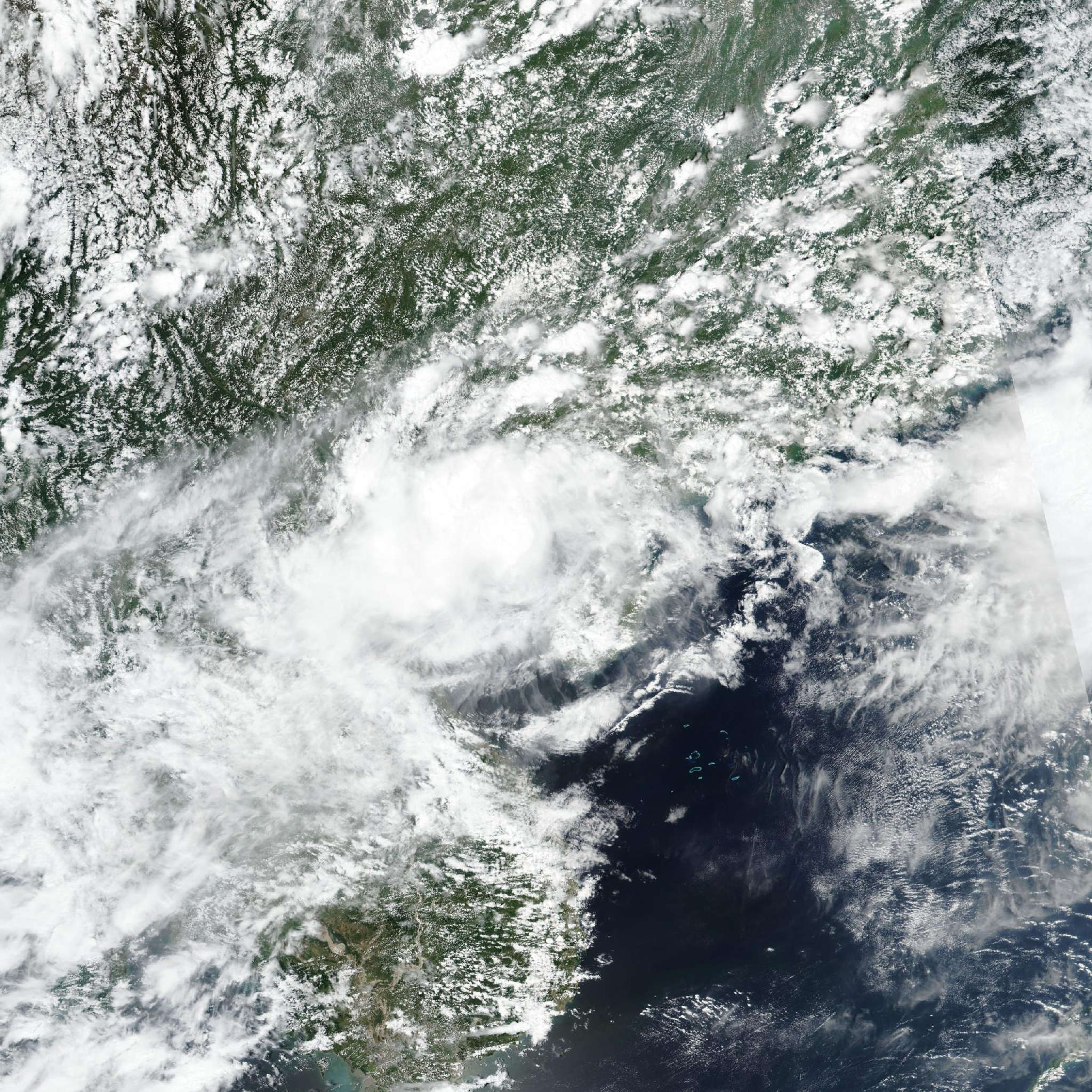
Live tracking map, satellite, radar, and forecasts of Tropical Storm 18W 2026 near China in the Gulf of Tonkin. Current wind speed 65km/h.
18W is located 302 km east of Hanoi, Vietnam, and has tracked northeastward at 6 km/h (3 knots) over the past 6 hours. Maximum significant wave height is 3.7 meters (12 feet).
18W is located within a weak steering environment. A weak subtropical ridge over southeast China tries to drive the system westward, but the deep-layer southwesterlies to the south attempt to move it in the opposite direction.
The end result is a very slow rate of forward movement toward the northeast. The subtropical ridge will weaken over the next 12 hours. Therefore, the JTWC forecast track presumes that the steering influence of the southwesterly flow will dominate and calls for a general northeastward to eastward motion through the period.
With most of the convection now inland and very little over the circulation, the system has likely reached peak intensity. The environment will be persistently unfavorable for development, characterized by warm sea surface temperatures strongly offset by moderate to high wind shear and dry air.
The JTWC intensity forecast assumes that convection will attempt to rebuild over the circulation while it remains over warm waters, which will help maintain intensity in the face of undesirable shear over the next 36 hours.
Once the vortex makes landfall, it will dissipate in 3 days. The confidence in the track forecast is very low. A slightly stronger subtropical ridge could briefly steer the system westward, and several model trackers show this scenario.
Although most of the guidance eventually brings the circulation eastward, the brief westward motion would delay the inevitable track toward land.
An alternate scenario in which the shear completely overwhelms the system, leading to dissipation over water, is also possible. Subsequent forecasts may lean toward the alternate scenarios, which would change the temporal extent and track of the forecast.
For now, the JTWC track maintains a more straightforward eastward progression, which aligns with NAVGEM and HAFS-A. The intensity aids generally show a steady intensity trend while the circulation remains over water.
The JTWC concurs with this philosophy, holding the intensity at 65 km/h (35 knots) before dissipating the system over land in 3 days.