Tropical Storm 18W 2025
Last Modified:
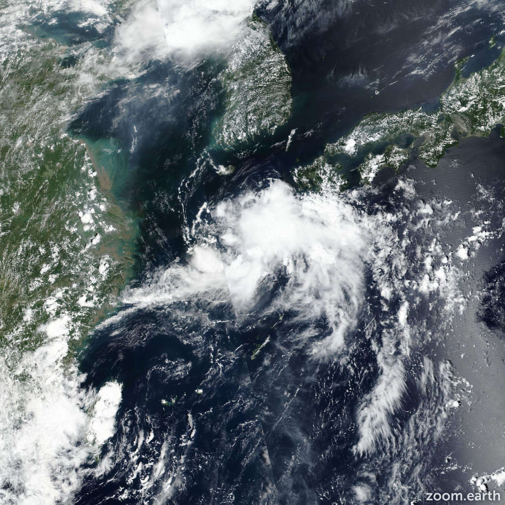
Live tracking map, satellite images and forecasts of Tropical Storm 18W 2025 near Kyushu, Japan. Current wind speed 75km/h.
18W (Philippine name Huaning) is located 163 km south-southwest of Sasebo, Japan, and has tracked northeastward at 17 km/h (9 knots) over the past 6 hours. Maximum significant wave height is 3.7 meters (12 feet).
18W is forecast to track east-northeastward, along the northern edge of the subtropical ridge, throughout the forecast period. Landfall is expected to occur just after 12 hours, near shimoshima island.
Regarding intensity, 18W is forecast to maintain intensity over the next 12 hours, up until the time of landfall as the environment remains overall favorable.
18W is now forecast to have gale-fore winds, primarily confined to the southern semicircle, during landfall. However, after 12 hours, easterly shear greatly increases as a ridge builds in over Korea and brings in enhanced upper-level level winds directly over the system. As a result, 18W is expected to quickly weaken over Kyushu.
Dissipation is forecast to occur in 2 days, near Shikoku. Model guidance is in moderate agreement with models generally agreeing on the east-northeasterly track.
The 12:00 UTC ensemble runs of GEFS and ECENS both have the mean making landfall in central to southern Kyushu. The JTWC track forecast is placed with medium confidence, close to the multi-model consensus.
Intensity guidance is slightly split with COAMPS-TC (GFS based) suggesting marginal intensification prior to landfall while HAFS-A suggests a steady intensity over the next 12 hours.
Models all agree on weakening after 12 hours.
The JTWC intensity forecast is placed closer to the HAFS-A with medium confidence.