Tropical Storm 15W 2026
Last Modified:
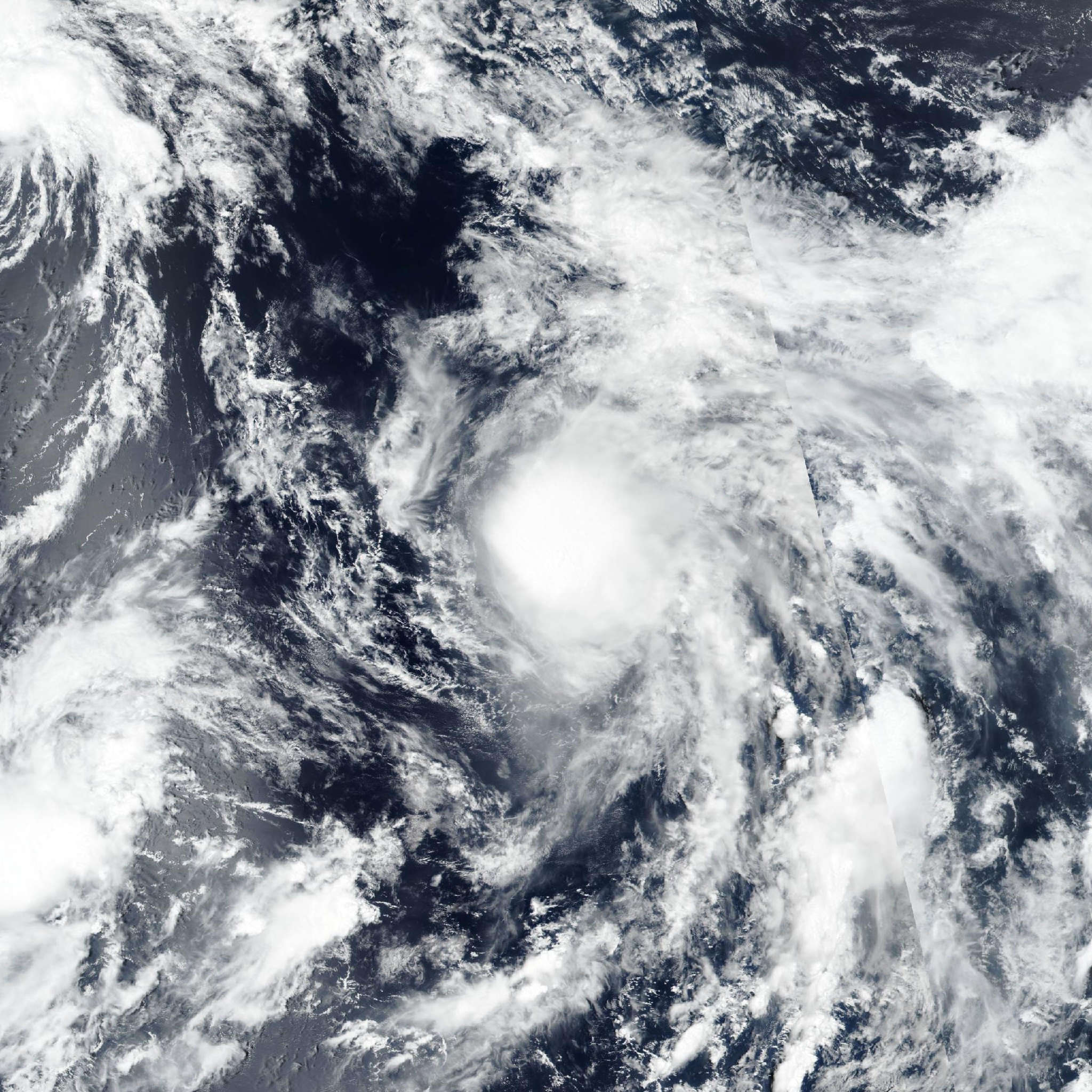
Live tracking map, satellite, radar, and forecasts of Tropical Storm 15W 2026 in the western Pacific Ocean. Current wind speed 65km/h.
15W is located 1056 km northwest of Wake Island, and has tracked north-northeastward at 30 km/h (16 knots) over the past 6 hours. Maximum significant wave height is 3.7 meters (12 feet).
15W is tracking north-northeastward along the eastern edge of an expansive cyclonic gyre centered to the west.
The system is approaching the latitude where the gradient flow around the gyre is weakest, and will begin to slow down through the forecast period.
As the system is moving into the northeastern quadrant of the gyre circulation, there is a significant amount of uncertainty in the track of 15W. It will either eject northeastward or turn northwestward, continuing its general cyclonic trajectory around the gyre.
The forecast follows the former scenario, with 15W slowly tracking northeastward through the forecast period. In terms of intensity, 15W has shown considerable resilience over the past day, with a small pocket of deep convection persisting over the low-level circulation center.
A burst of strong southwesterly wind shear, accompanied by dry mid-level air entrainment and upper-level convergence, will shear the deep convection from the system after 12 hours, leaving behind a shallow vortex that will gradually weaken through the forecast period.
Track guidance is in poor agreement, diverging from today through the end of the forecast period. NAVGEM, UKMET, and the consensus mean take the system on the cyclonic trajectory, turning northwestward in 36 hours.
Conversely, the AI models, agfs and HAFS-A show the system ejecting out of the gyre on the northeastward track through the end of the forecast.
The JTWC forecast is placed near the AI consensus mean, with medium confidence.
Intensity guidance is in good agreement that the system will steadily weaken and dissipate within 36 hours.