Tropical Storm Bailu 2025
Last Modified:
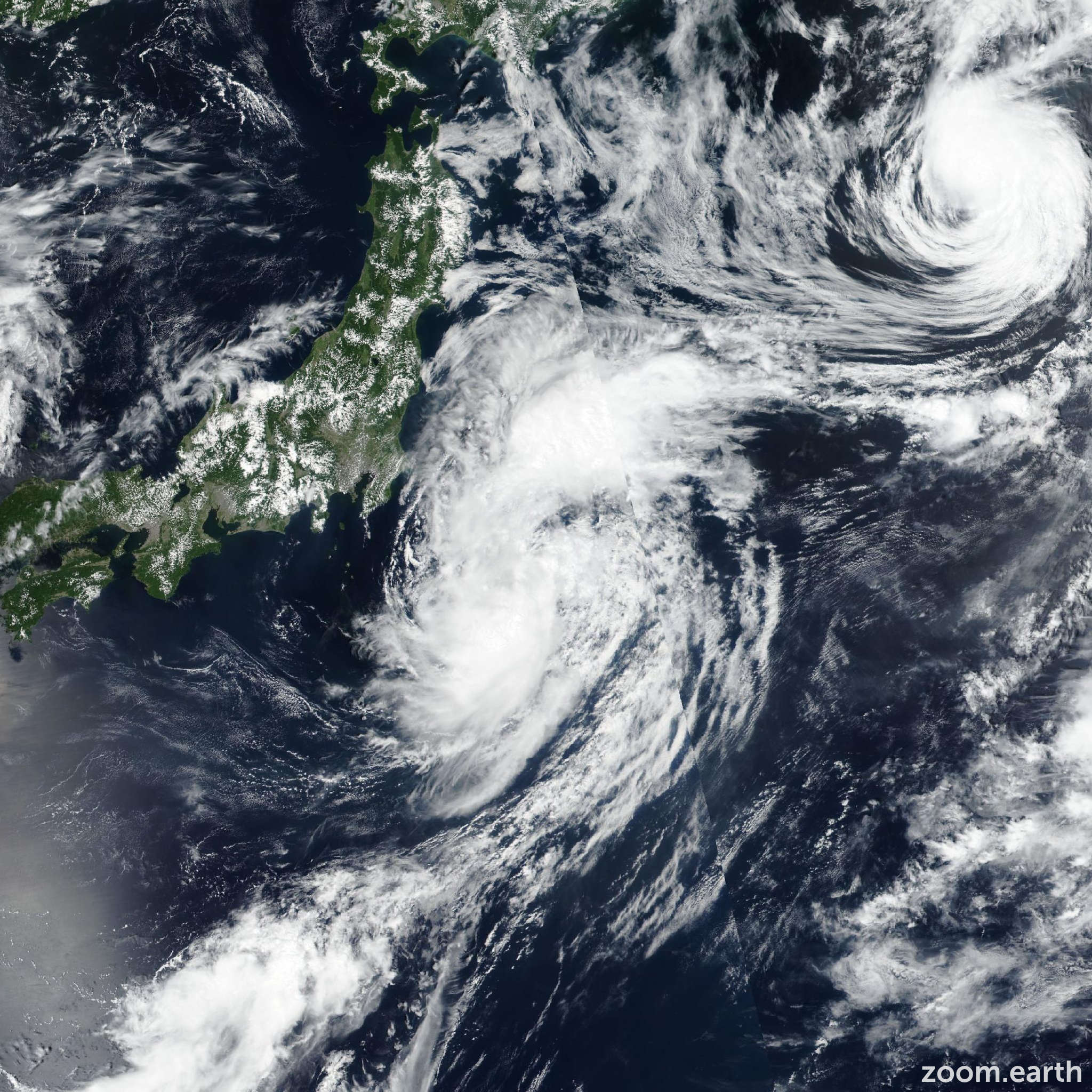
Live tracking map, satellite images and forecasts of Tropical Storm Bailu 2025 (台風10号) in the western Pacific Ocean. Current wind speed 65km/h.
Bailu is located 809 km east-southeast of Misawa, Japan, and has tracked east-northeastward at 37 km/h (20 knots) over the past 6 hours. Maximum significant wave height is 5.8 meters (19 feet).
Bailu is expected to track generally eastward along the northern edge of a subtropical ridge centered to the south through the next 24 hours. During this period, the environment is anticipated to remain marginal resulting in Bailu struggling to develop persistent convection.
In 36 hours, Bailu is forecast to decelerate as the steering gradient weakens. Beyond 2 days, a gradual recurvature toward the north-northeast is expected under the influence of a secondary building subtropical ridge located to the southeast.
Deteriorating ocean heat content, sustained dry air entrainment, increasing wind shear and a gradual decoupling of the convective core will induce a weakening trend.
Simultaneously, extratropical transition (ETT) is forecast to initiate shortly after 2 days, with completion expected in around 3 days. Model guidance is in tight agreement throughout the forecast period, reflecting consensus in the synoptic-scale steering pattern.
Cross-track spread at 24 hours is approximately 56 km. In 3 days, model divergence increases to near 90 nautical miles, highlighting uncertainty in the later-stage steering environment.
The JTWC intensity forecast is issued with medium confidence due to model disparity.
The official JTWC intensity forecast is anchored near the multi-model consensus mean and slightly above most deterministic guidance envelopes with high confidence, as a result of strong model agreement.