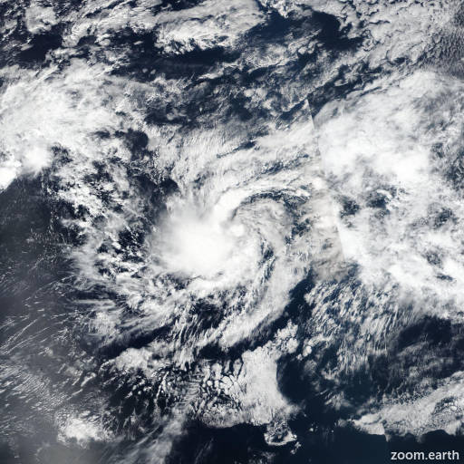
Tropical Depression 13E 2024
Last Modified:

Live tracking map, satellite images and forecasts of Tropical Depression 13E 2024 in the eastern Pacific Ocean. Current wind speed 35mph.
The area of low pressure located more than 1000 miles southwest of the southern tip of the Baja California peninsula has continued to become better organized this afternoon (1 November). An ASCAT pass early this morning indicated a well-defined circulation, and deep convection near the center has persisted throughout the day. A subjective Dvorak estimate from TAFB at 18:00 UTC was T2.5, and objective satellite intensity estimates suggest that the winds have increased to near 35 mph (30 knots). Based on these data, advisories are initiated on Tropical Depression Thirteen, with an initial intensity of 35 mph (30 knots).
The initial motion of this tropical cyclone is westward at 270/6 knots. The depression is expected to continue on a generally westward trajectory during the next day or two as it is steered by a broad mid-level ridge to the north of the system. The track guidance is in good agreement for the next several days, and the official forecast track represents a blend of the HCCA and TVCN consensus models.
The depression is expected to be a short-lived system. The intensity forecast indicates that the depression will remain below tropical storm status through the weekend, though a low-end tropical storm cannot be ruled out. By late this weekend, vertical wind shear is expected to increase significantly, and the system is expected to dissipate into a remnant low after about two days. The NHC intensity forecast is in the middle of the guidance envelope and is similar to the IVCN consensus model.