Tropical Depression 12W 2020
Last Modified:
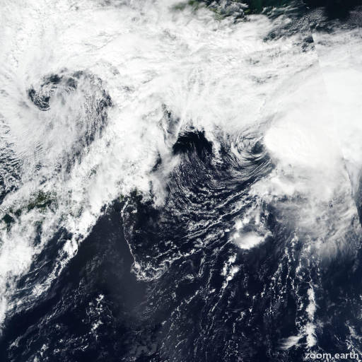
Satellite images, weather maps and tracks of Tropical Depression 12W 2020, September 10 - 12. Max wind speed 45km/h.
Tropical Depression 12W, located approximately 237 nautical miles south-southwest of Yokosuka, Japan, has tracked north-northeastward at 6 knots over the past six hours.
Animated multispectral satellite imagery (MSI) indicates that the improving convective organization observed six hours ago has succumbed to the high (20 knot) vertical wind shear (VWS), leaving behind a weak, exposed low level circulation center (LLCC).
The initial position is based on the LLCC in MSI with high confidence.
A 11/23:04 UTC ASCAT-A pass revealed only a few isolated 25 to 30 knot wind barbs under deep convection, and displaced 75 nautical miles from the LLCC.
The initial intensity is assessed at 25 knots based on these isolated ASCAT winds and agency Dvorak estimates, however, the exposed LLCC is generally characterized by only 10-15 knot winds. 12W is clearly interacting with mid-latitude westerlies and is taking on extra-tropical characteristics.
Extra-tropical transition is expected to be completed within 12 hours, consistent with FSU phase space guidance.
Dynamic guidance is good agreement for this short forecast.
JTWC forecast confidence is assessed as high.
This is the final warning on this system by JTWC.
The system will be closely monitored for signs of regeneration.
Maximum significant wave height at 12/00:00 UTC is 9 feet (2.7 meters).
Information provided by JTWC.