Tropical Storm Danas (Bising) 2025
Last Modified:
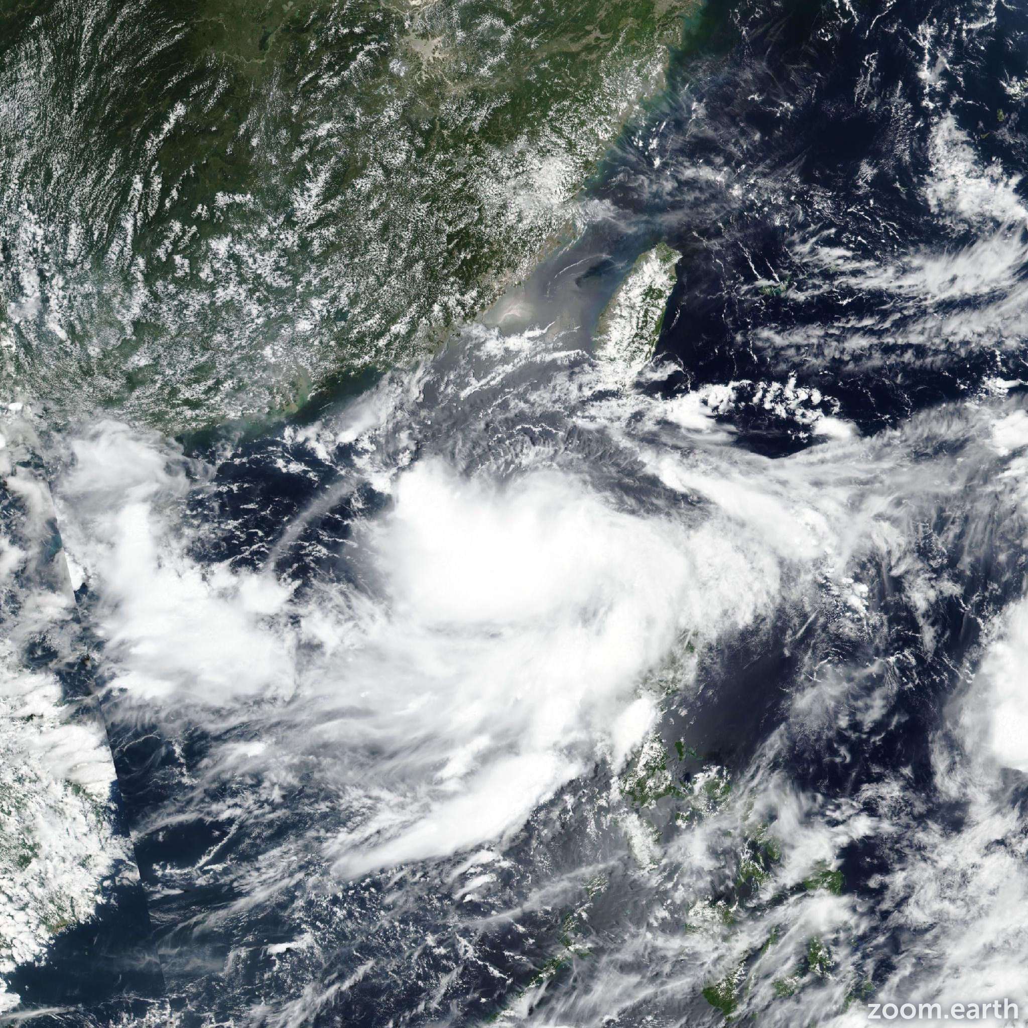
Live tracking map, satellite images and forecasts of Tropical Storm Danas 2025 (台風4号) southeast of Hong Kong. Current wind speed 85km/h. Max 150km/h.
Danas (Philippine name Bising) is located 682 km southwest of Taipei, Taiwan, and has tracked northwestward at 2 km/h (1 knot) over the past 6 hours. Maximum significant wave height is 4.9 meters (16 feet).
Danas is forecast to track slowly northward over the next 12 hours as the steering pattern remains competing.
After 12 hours, the near-equatorial ridge to the southeast will build and cause the steering pattern to become more defined. Danas will then increase track speeds in the north-northeastward direction, along the northwestern edge of the ridge over the next 3 days.
In around 3 days, ridging will extend over to the north of the vortex, which will cause it to make a sharp westward turn into mainland China.
Regarding intensity, Danas is forecast to nearly rapidly intensify over the next 24 hours as the environment remains highly conducive. A peak intensity of 150 km/h (80 knots) is forecast to occur in around 36 hours, as the system begins to enter the Taiwan Strait.
Interaction with Taiwan and the eastern coast of China will cause Danas to begin marginally weakening as it tracks through the strait. In around 3 days, as the vortex inches toward the coast, increasing land interaction and dry air advection from the mountains will cause the system to further weaken.
Once Danas makes the sharp turn into China, dissipation will be imminent. Dissipation is forecast to occur in around 4 days, as the remnant vortex tracks further off to the west.
Model guidance is in moderate agreement over the next 3 days, with a 315 km cross-track spread at 3 days. ECMWF and its ensemble mean are the most westward leaning members, keeping the vortex closer to the coast of China than the remainder of guidance suggests.
After 3 days, models greatly diverge. Some models take a sharp turn toward the southwest (UKMET, JGSM, and GFS) while others take a broader turn to the west-northwest (ECMWF and GALWEM).
The JTWC track forecast is placed more in line with the latter scenario with low confidence after 3 days. Intensity guidance agrees on intensification over the next 36 hours.
Peak intensities range from 130–185 km/h (70–100 knots) with the higher end consisting of the rapid intensification aids that continue to trigger. The JTWC peak is forecast to be 150 km/h (80 knots), in line with the multi-model consensus.
After 2 days, all models show weakening through the remainder of the forecast period. However, the JTWC intensity forecast is placed with overall low confidence due to the vortex being so close to land on either side of the track.
Small variations in the track could cause large changes to the intensity of the storm as it traverses the Taiwan Strait.