Tropical Depression 04W 2025
Last Modified:
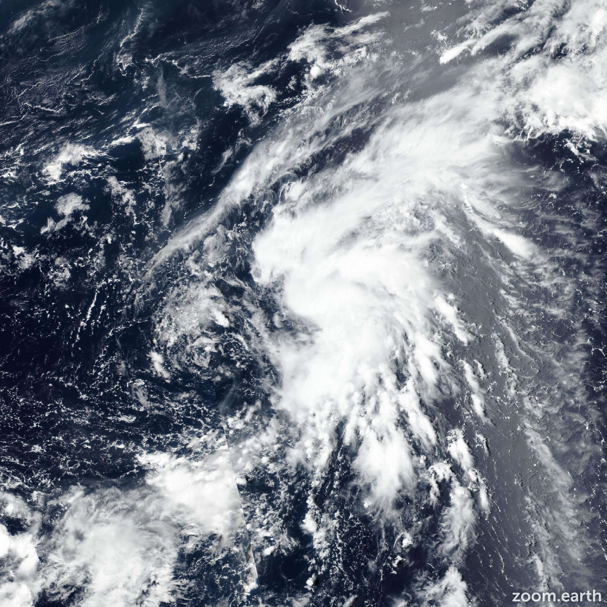
Live tracking map, satellite images and forecasts of Tropical Depression 04W 2025 south of Japan. Current wind speed 55km/h. Max 110km/h.
04W is located 483 km east-southeast of Chichi Jima, and has tracked northwestward at 15 km/h (8 knots) over the past 6 hours. Maximum significant wave height is 4.3 meters (14 feet).
04W is forecast to initially track northwestward along the southwestern edge of a subtropical ridge to the northeast.
In around 2 days the ridge will begin to reorient, resulting in strengthening of two ridging areas that are south and east of the system. This will lead to 04W tracking north and eventually northeast throughout the next 4 days.
After that, further strengthening of the ridge to the east will cause the system to begin turning northward again. Intensity is forecast to steadily increase throughout the next 3 days, while the system distances itself from the TUTT cell.
Peak intensity is expected to reach 110 km/h (60 knots) around that time. Afterward however, impacts from continuous dry air entrainment, as well as cooling sea surface temperatures will result in weakening, as the system tracks poleward.
Finally, models suggest an upper-level trough interaction toward the end of the forecast period, resulting in a drastic increase in wind shear.
Model guidance is in fair agreement over the next 4 days with all models suggesting an s-shaped track pattern, as witnessed by a cross-track spread of 204 km at 3 days.
After that, uncertainty increases, as models do not agree on the dominant steering pattern and therefore timeline and extent of the interaction with the upper-level trough passing from the west.
Deterministic GFS suggests a northwestward turn in 5 days, while NAVGEM and ECMWF ensemble are placing the track turning northeastward. Majority of the models are leaning toward the north or northeastward track and JTWC forecast is placed close to the multi-model consensus.
Intensity guidance is in fair agreement throughout the forecast period, with nearly all consensus members agreeing on the timeline of intensification and weakening.
Peak intensity spread however is assessed at 55 km/h (30 knots), with COAMPS-TC going as high as 140 km/h (75 knots) and statistical-dynamical models on the lower end of the spectrum, predicting peak intensity of 85–95 km/h (45–50 knots).
Once again, JTWC forecast is placed close to the multi-model average.