Tropical Storm Cosme 2025
Last Modified:
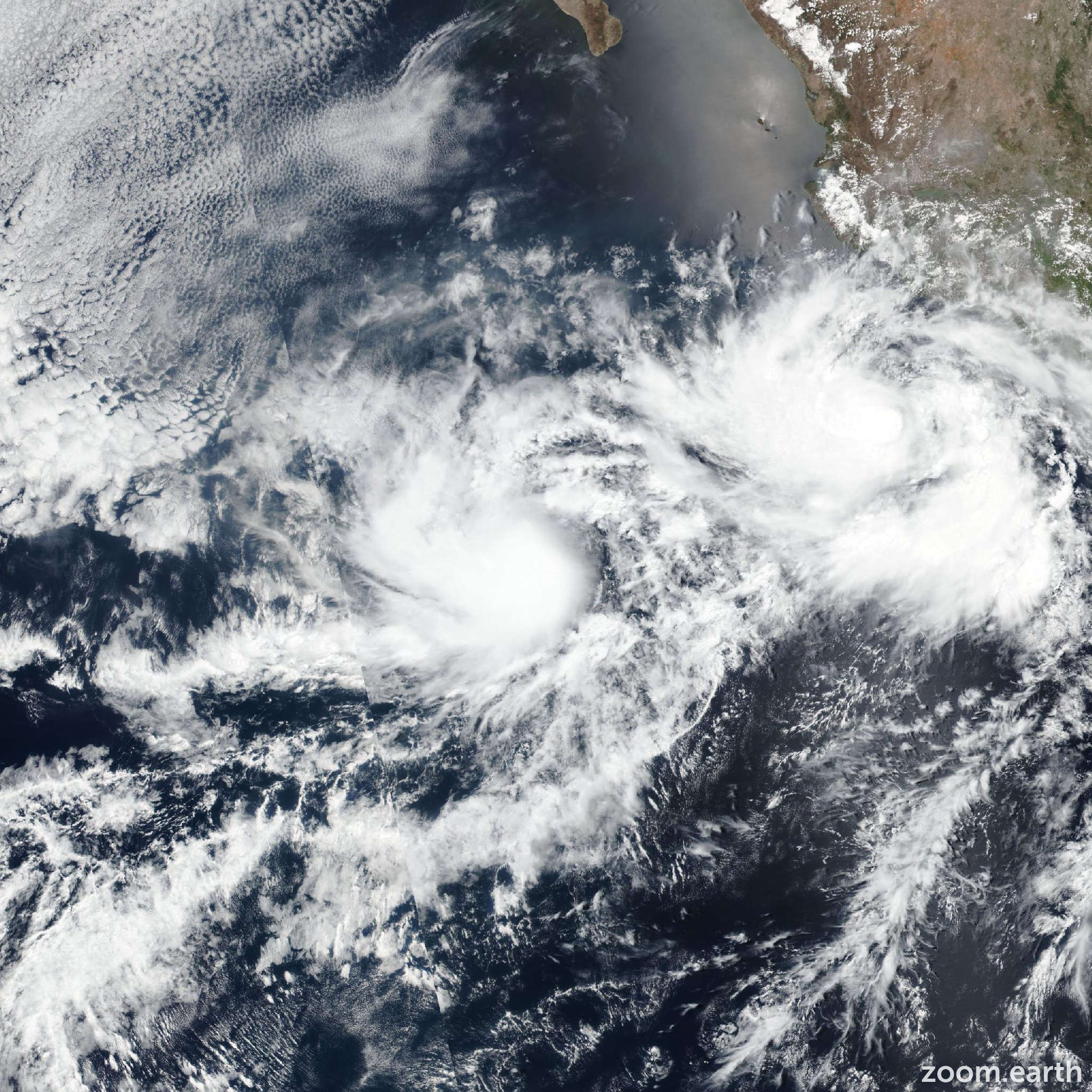
Live tracking map, satellite images and forecasts of Tropical Storm Cosme 2025 in the eastern Pacific Ocean. Current wind speed 70mph.
Cosme remains at the threshold of hurricane strength. Convection continues to be potent south and east of the center, though it is weak on the northwestern side. Unfortunately there haven't been any recent microwave passes to assess the inner-core structure. Since the latest blend of objective and subjective satellite intensity estimates remains near 70 mph (60 knots), that value will be kept as the initial wind speed.
Cosme is moving along a thermal ridge in the sea surface temperatures, and it still could become a hurricane overnight before reaching less favorable conditions tomorrow morning. Steady or rapid weakening is probable by late Tuesday due to a combination of decreasing sea surface temperatures and intrusions of dry/stable air. The tropical cyclone should lose all convection early on Wednesday and become a remnant low between 36 and 48 hours. No significant changes were made on this advisory to the intensity forecast.
The storm has slowed down, only moving northwestward at 5 mph (3 knots), and this general motion should continue through tonight. After that time, a turn to the north-northeast is expected as Cosme moves toward a weakness left behind by Hurricane Barbara to its northeast. The NHC track forecast is basically an update of the previous one, near or a smidge left of the consensus aids.